Distance to Blackwell, Missouri

Calculating Your Route
Just a moment while we process your request...
Location Information
-
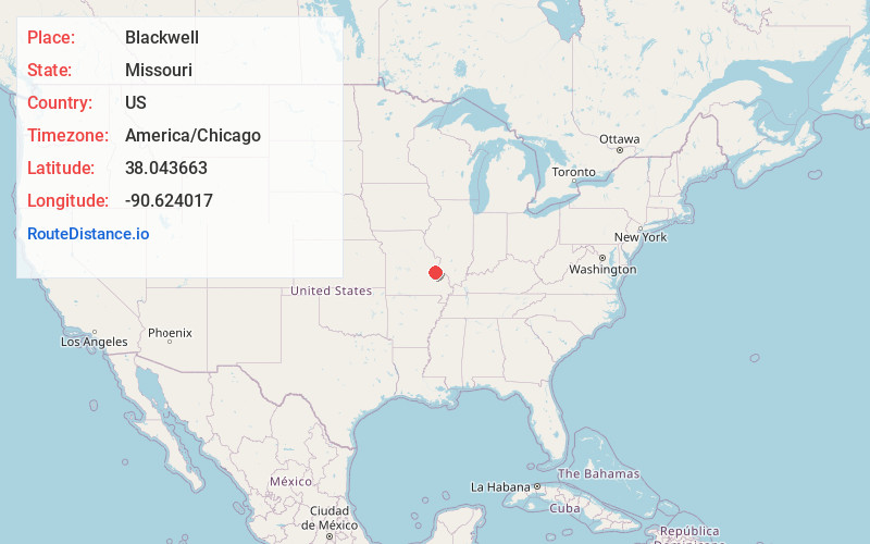
Full AddressBlackwell, MO 63626
-
Coordinates38.0436627, -90.624017
-
LocationBlackwell , Missouri , US
-
TimezoneAmerica/Chicago
-
Current Local Time6:01:38 PM America/ChicagoFriday, June 20, 2025
-
Page Views0
About Blackwell
Blackwell is an unincorporated community in a small part of Washington County and the extreme northern section of St. Francois County, Missouri, United States. It is located approximately seven and a half miles south of De Soto.
A variant name was "Blackwell Station".

Nearby Places
Found 10 places within 50 miles

Summer Set Lake Dam
4.6 mi
7.4 km
Summer Set Lake Dam, De Soto, MO 63020
Get directions

Valles Mines
6.8 mi
10.9 km
Valles Mines, MO 63087
Get directions

De Soto
7.7 mi
12.4 km
De Soto, MO 63020
Get directions
Mineral Point
8.7 mi
14.0 km
Mineral Point, MO 63660
Get directions

Terre Du Lac
9.1 mi
14.6 km
Terre Du Lac, Terre du Lac, MO 63628
Get directions

Bonne Terre
9.1 mi
14.6 km
Bonne Terre, MO 63628
Get directions
Oakvale
9.5 mi
15.3 km
Oakvale, Plattin Township, MO 63020
Get directions
Olympian Village
11.1 mi
17.9 km
Olympian Village, MO 63020
Get directions

Potosi
11.6 mi
18.7 km
Potosi, MO
Get directions
Leadwood
12.3 mi
19.8 km
Leadwood, MO
Get directions
Location Links
Local Weather
Weather Information
Coming soon!
Location Map
Static map view of Blackwell, Missouri
Browse Places by Distance
Places within specific distances from Blackwell
Short Distances
Long Distances
Click any distance to see all places within that range from Blackwell. Distances shown in miles (1 mile ≈ 1.61 kilometers).