Distance to Potosi, Missouri

Calculating Your Route
Just a moment while we process your request...
Location Information
-
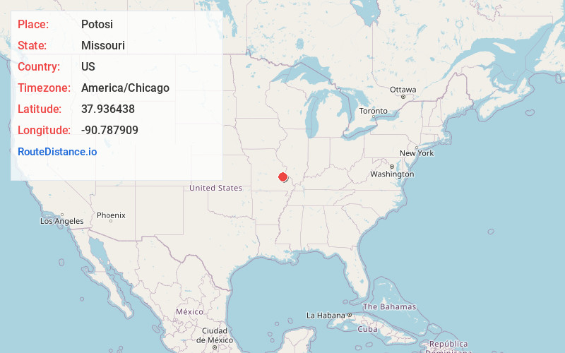
Full AddressPotosi, MO
-
Coordinates37.936438, -90.7879086
-
LocationPotosi , Missouri , US
-
TimezoneAmerica/Chicago
-
Current Local Time4:05:51 PM America/ChicagoWednesday, June 18, 2025
-
Page Views0
About Potosi
Potosi is a city and the county seat of Washington County, Missouri, United States. Potosi is seventy-two miles southwest of St. Louis. The population was 2,538 as of the 2020 census.
Located in the Lead Belt, the city was founded in 1763 by French colonists as Mine à Breton or Mine au Breton.


Nearby Places
Found 10 places within 50 miles

Bonne Terre
12.7 mi
20.4 km
Bonne Terre, MO 63628
Get directions

Desloge
14.9 mi
24.0 km
Desloge, MO
Get directions

Park Hills
15.8 mi
25.4 km
Park Hills, MO
Get directions

De Soto
19.0 mi
30.6 km
De Soto, MO 63020
Get directions

Farmington
22.7 mi
36.5 km
Farmington, MO 63640
Get directions

Hillsboro
23.8 mi
38.3 km
Hillsboro, MO 63050
Get directions

Sullivan
27.6 mi
44.4 km
Sullivan, MO 63080
Get directions

Festus
28.4 mi
45.7 km
Festus, MO
Get directions

Crystal City
29.7 mi
47.8 km
Crystal City, MO
Get directions

St Clair
30.3 mi
48.8 km
St Clair, MO
Get directions
Location Links
Local Weather
Weather Information
Coming soon!
Location Map
Static map view of Potosi, Missouri
Browse Places by Distance
Places within specific distances from Potosi
Short Distances
Long Distances
Click any distance to see all places within that range from Potosi. Distances shown in miles (1 mile ≈ 1.61 kilometers).