Distance to Hillsboro, Missouri

Calculating Your Route
Just a moment while we process your request...
Location Information
-
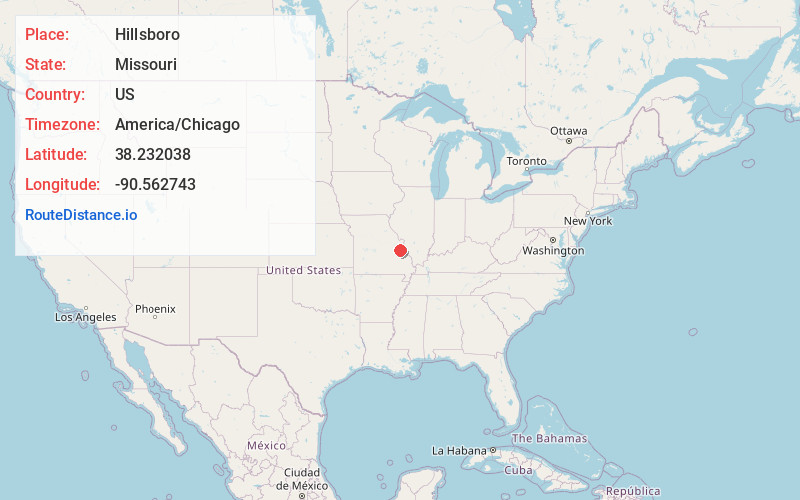
Full AddressHillsboro, MO 63050
-
Coordinates38.2320376, -90.5627432
-
LocationHillsboro , Missouri , US
-
TimezoneAmerica/Chicago
-
Current Local Time3:25:50 PM America/ChicagoWednesday, June 18, 2025
-
Page Views0
About Hillsboro
Hillsboro is a city in and the county seat of Jefferson County, Missouri, United States. The population was 3,473 at the 2020 census, up from 2,821 in 2010.


Nearby Places
Found 10 places within 50 miles

De Soto
6.4 mi
10.3 km
De Soto, MO 63020
Get directions

Festus
8.7 mi
14.0 km
Festus, MO
Get directions

Herculaneum
9.3 mi
15.0 km
Herculaneum, MO
Get directions

Crystal City
9.6 mi
15.4 km
Crystal City, MO
Get directions

Pevely
10.0 mi
16.1 km
Pevely, MO
Get directions

Barnhart
12.0 mi
19.3 km
Barnhart, MO 63012
Get directions

Imperial
13.8 mi
22.2 km
Imperial, MO
Get directions

High Ridge
15.7 mi
25.3 km
High Ridge, MO 63049
Get directions

Arnold
17.9 mi
28.8 km
Arnold, MO 63010
Get directions

Murphy
18.3 mi
29.5 km
Murphy, MO
Get directions
Location Links
Local Weather
Weather Information
Coming soon!
Location Map
Static map view of Hillsboro, Missouri
Browse Places by Distance
Places within specific distances from Hillsboro
Short Distances
Long Distances
Click any distance to see all places within that range from Hillsboro. Distances shown in miles (1 mile ≈ 1.61 kilometers).