Distance to High Ridge, Missouri

Calculating Your Route
Just a moment while we process your request...
Location Information
-
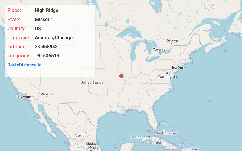
Full AddressHigh Ridge, MO 63049
-
Coordinates38.4589432, -90.5365126
-
LocationHigh Ridge , Missouri , US
-
TimezoneAmerica/Chicago
-
Current Local Time2:44:08 PM America/ChicagoTuesday, June 24, 2025
-
Page Views0
About High Ridge
High Ridge is an unincorporated community and census-designated place in Jefferson County, Missouri, United States. The population was 4,305 at the 2010 census.


Nearby Places
Found 10 places within 50 miles

Murphy
3.4 mi
5.5 km
Murphy, MO
Get directions

Eureka
5.8 mi
9.3 km
Eureka, MO
Get directions

Valley Park
6.7 mi
10.8 km
Valley Park, MO
Get directions

Arnold
8.9 mi
14.3 km
Arnold, MO 63010
Get directions

Sunset Hills
8.9 mi
14.3 km
Sunset Hills, MO
Get directions

Ballwin
9.4 mi
15.1 km
Ballwin, MO
Get directions

Ellisville
9.6 mi
15.4 km
Ellisville, MO
Get directions

Manchester
9.7 mi
15.6 km
Manchester, MO
Get directions

Sappington
10.1 mi
16.3 km
Sappington, MO
Get directions

Imperial
10.5 mi
16.9 km
Imperial, MO
Get directions
Location Links
Local Weather
Weather Information
Coming soon!
Location Map
Static map view of High Ridge, Missouri
Browse Places by Distance
Places within specific distances from High Ridge
Short Distances
Long Distances
Click any distance to see all places within that range from High Ridge. Distances shown in miles (1 mile ≈ 1.61 kilometers).