Distance to Pevely, Missouri

Calculating Your Route
Just a moment while we process your request...
Location Information
-
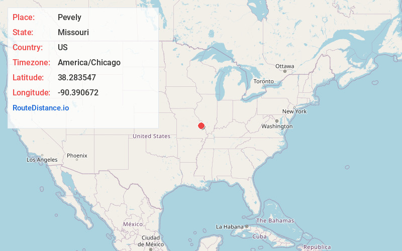
Full AddressPevely, MO
-
Coordinates38.2835468, -90.3906719
-
LocationPevely , Missouri , US
-
TimezoneAmerica/Chicago
-
Current Local Time7:08:52 AM America/ChicagoMonday, June 2, 2025
-
Website
-
Page Views0
About Pevely
Pevely is a city in Jefferson County, Missouri, United States, and a suburb of St. Louis about 30 miles south of St. Louis. The population was 6,012, at the 2020 United States census.


Nearby Places
Found 10 places within 50 miles

Festus
4.9 mi
7.9 km
Festus, MO
Get directions

Arnold
11.1 mi
17.9 km
Arnold, MO 63010
Get directions

De Soto
13.3 mi
21.4 km
De Soto, MO 63020
Get directions

Waterloo
13.5 mi
21.7 km
Waterloo, IL
Get directions

Oakville
13.7 mi
22.0 km
Oakville, MO 63129
Get directions

Columbia
15.1 mi
24.3 km
Columbia, IL 62236
Get directions

Murphy
15.2 mi
24.5 km
Murphy, MO
Get directions

Mehlville
16.0 mi
25.7 km
Mehlville, MO
Get directions
Sappington
16.9 mi
27.2 km
Sappington, MO
Get directions

Sunset Hills
17.7 mi
28.5 km
Sunset Hills, MO
Get directions
Location Links
Local Weather
Weather Information
Coming soon!
Location Map
Static map view of Pevely, Missouri
Browse Places by Distance
Places within specific distances from Pevely
Short Distances
Long Distances
Click any distance to see all places within that range from Pevely. Distances shown in miles (1 mile ≈ 1.61 kilometers).