Distance to Columbia, Illinois

Calculating Your Route
Just a moment while we process your request...
Location Information
-
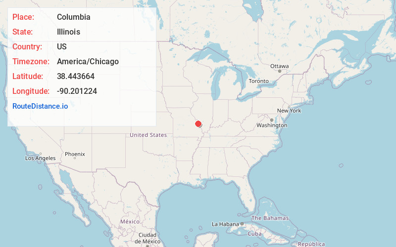
Full AddressColumbia, IL 62236
-
Coordinates38.4436637, -90.2012239
-
LocationColumbia , Illinois , US
-
TimezoneAmerica/Chicago
-
Current Local Time6:51:10 PM America/ChicagoSaturday, May 31, 2025
-
Website
-
Page Views0
About Columbia
Columbia is a city mainly in Monroe County with a small portion in St. Clair County in the U.S. state of Illinois, about 12 miles south of St. Louis, Missouri. The population was 10,999 at the 2020 census.


Nearby Places
Found 10 places within 50 miles

Oakville
5.9 mi
9.5 km
Oakville, MO 63129
Get directions

Lemay
7.8 mi
12.6 km
Lemay, MO
Get directions

Waterloo
8.0 mi
12.9 km
Waterloo, IL
Get directions

Mehlville
8.0 mi
12.9 km
Mehlville, MO
Get directions

Arnold
9.3 mi
15.0 km
Arnold, MO 63010
Get directions

Affton
10.3 mi
16.6 km
Affton, MO 63123
Get directions

Crestwood
12.5 mi
20.1 km
Crestwood, MO
Get directions

St. Louis
12.7 mi
20.4 km
St. Louis, MO
Get directions

East St Louis
12.8 mi
20.6 km
East St Louis, IL
Get directions

Belleville
12.9 mi
20.8 km
Belleville, IL
Get directions
Location Links
Local Weather
Weather Information
Coming soon!
Location Map
Static map view of Columbia, Illinois
Browse Places by Distance
Places within specific distances from Columbia
Short Distances
Long Distances
Click any distance to see all places within that range from Columbia. Distances shown in miles (1 mile ≈ 1.61 kilometers).