Distance to Bladon Springs, Alabama

Calculating Your Route
Just a moment while we process your request...
Location Information
-
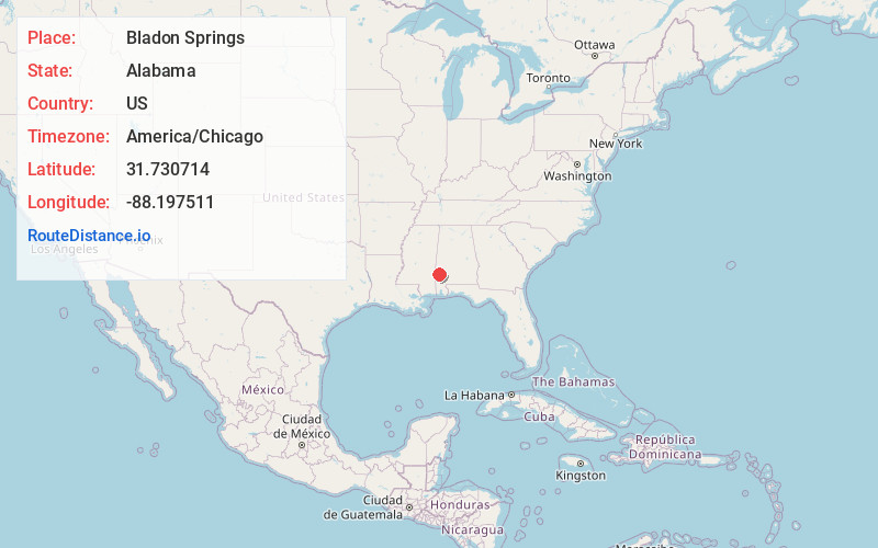
Full AddressBladon Springs, AL 36919
-
Coordinates31.7307135, -88.1975111
-
LocationAlabama , US
-
TimezoneAmerica/Chicago
-
Current Local Time5:38:53 PM America/ChicagoFriday, June 20, 2025
-
Page Views0
About Bladon Springs
Bladon Springs is an unincorporated community in Choctaw County, Alabama, United States. The community grew up around and gained its name from the mineral springs that once were operated as a renowned hotel and spa, now within the modern Bladon Springs State Park.
Nearby Places
Found 10 places within 50 miles

Bashi
5.4 mi
8.7 km
Bashi, AL 36558
Get directions

Cullomburg
6.0 mi
9.7 km
Cullomburg, AL
Get directions
Coffeeville
6.6 mi
10.6 km
Coffeeville, AL 36524
Get directions

Silas
8.1 mi
13.0 km
Silas, AL 36919
Get directions
Womack Hill
8.5 mi
13.7 km
Womack Hill, AL 36908
Get directions
Millry
9.5 mi
15.3 km
Millry, AL 36558
Get directions
Old Samuel
11.7 mi
18.8 km
Old Samuel, Gilbertown, AL 36908
Get directions
Thornton Springs
11.9 mi
19.2 km
Thornton Springs, AL 36908
Get directions
Loper
11.9 mi
19.2 km
Loper, AL 36558
Get directions

Gilbertown
12.5 mi
20.1 km
Gilbertown, AL 36908
Get directions
Location Links
Local Weather
Weather Information
Coming soon!
Location Map
Static map view of Bladon Springs, Alabama
Browse Places by Distance
Places within specific distances from Bladon Springs
Short Distances
Long Distances
Click any distance to see all places within that range from Bladon Springs. Distances shown in miles (1 mile ≈ 1.61 kilometers).