Distance to Cullomburg, Alabama

Calculating Your Route
Just a moment while we process your request...
Location Information
-
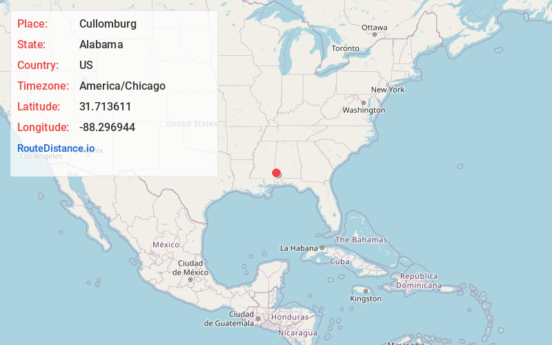
Full AddressCullomburg, AL
-
Coordinates31.713611, -88.296944
-
LocationCullomburg , Alabama , US
-
TimezoneAmerica/Chicago
-
Current Local Time8:12:57 AM America/ChicagoThursday, June 19, 2025
-
Page Views0
About Cullomburg
Cullomburg is a census-designated place and unincorporated community in Choctaw and Washington counties, Alabama, United States. Its population was 126 as of the 2020 census.


Nearby Places
Found 10 places within 50 miles

Silas
4.1 mi
6.6 km
Silas, AL 36919
Get directions

Millry
5.6 mi
9.0 km
Millry, AL 36558
Get directions

Gilbertown
11.4 mi
18.3 km
Gilbertown, AL 36908
Get directions

Chatom
17.3 mi
27.8 km
Chatom, AL 36518
Get directions

St Stephens
18.5 mi
29.8 km
St Stephens, AL 36569
Get directions

Waynesboro
20.7 mi
33.3 km
Waynesboro, MS 39367
Get directions

State Line
21.8 mi
35.1 km
State Line, MS
Get directions
Leroy
24.1 mi
38.8 km
Leroy, AL 36548
Get directions
Clara
25.2 mi
40.6 km
Clara, MS 39367
Get directions
Shubuta
25.7 mi
41.4 km
Shubuta, MS 39360
Get directions
Location Links
Local Weather
Weather Information
Coming soon!
Location Map
Static map view of Cullomburg, Alabama
Browse Places by Distance
Places within specific distances from Cullomburg
Short Distances
Long Distances
Click any distance to see all places within that range from Cullomburg. Distances shown in miles (1 mile ≈ 1.61 kilometers).