Distance to Chatom, Alabama

Calculating Your Route
Just a moment while we process your request...
Location Information
-
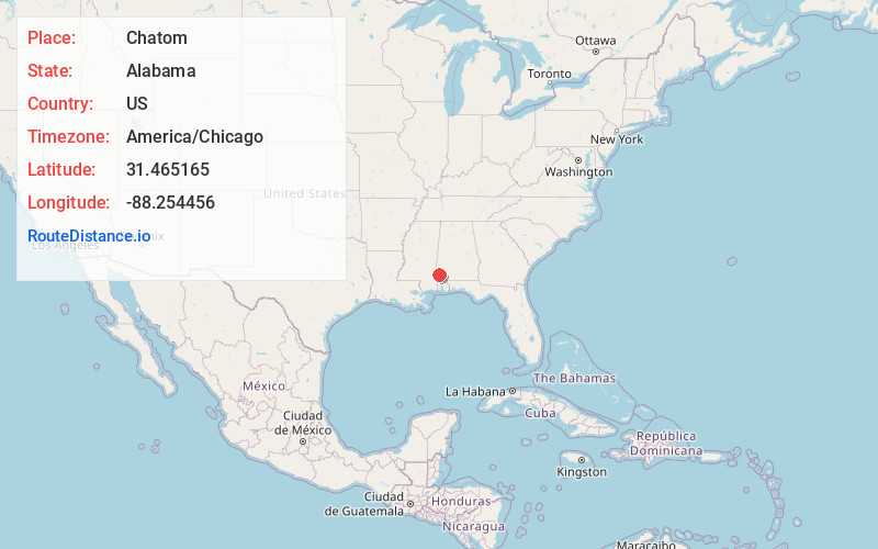
Full AddressChatom, AL 36518
-
Coordinates31.4651653, -88.2544557
-
LocationChatom , Alabama , US
-
TimezoneAmerica/Chicago
-
Current Local Time2:39:37 AM America/ChicagoSaturday, May 31, 2025
-
Website
-
Page Views0
About Chatom
Chatom is a town in Washington County, Alabama, United States. It incorporated in 1949. Chatom is the county seat of Washington County, holding the distinction since 1907. The town's population was 1,288 At the 2010 census, up from 1,193 in 2000.


Nearby Places
Found 10 places within 50 miles

State Line
13.1 mi
21.1 km
State Line, MS
Get directions

Leroy
16.9 mi
27.2 km
Leroy, AL 36548
Get directions

Jackson
21.4 mi
34.4 km
Jackson, AL 36545
Get directions

Citronelle
25.9 mi
41.7 km
Citronelle, AL 36522
Get directions

Waynesboro
27.2 mi
43.8 km
Waynesboro, MS 39367
Get directions

Leakesville
27.9 mi
44.9 km
Leakesville, MS
Get directions

Gilbertown
28.7 mi
46.2 km
Gilbertown, AL 36908
Get directions

Mt Vernon
29.8 mi
48.0 km
Mt Vernon, AL 36560
Get directions

Grove Hill
32.7 mi
52.6 km
Grove Hill, AL
Get directions

Richton
41.2 mi
66.3 km
Richton, MS 39476
Get directions
Location Links
Local Weather
Weather Information
Coming soon!
Location Map
Static map view of Chatom, Alabama
Browse Places by Distance
Places within specific distances from Chatom
Short Distances
Long Distances
Click any distance to see all places within that range from Chatom. Distances shown in miles (1 mile ≈ 1.61 kilometers).