Distance to Blaine, Tennessee

Calculating Your Route
Just a moment while we process your request...
Location Information
-
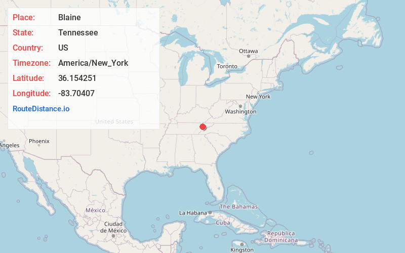
Full AddressBlaine, TN
-
Coordinates36.1542508, -83.7040704
-
LocationBlaine , Tennessee , US
-
TimezoneAmerica/New_York
-
Current Local Time3:54:10 PM America/New_YorkThursday, June 19, 2025
-
Page Views0
About Blaine
Blaine, formerly known as Blaine's Crossroads, is a city in Grainger County, Tennessee, United States, and a suburb of neighboring Knoxville. It is part of both the Knoxville Metropolitan Statistical Area and the Morristown Metropolitan Statistical Area. The population was 2,084 at the 2020 census.


Nearby Places
Found 10 places within 50 miles

Strawberry Plains
6.4 mi
10.3 km
Strawberry Plains, TN 37871
Get directions

Mascot
6.8 mi
10.9 km
Mascot, TN
Get directions

Dandridge
18.8 mi
30.3 km
Dandridge, TN
Get directions

Seymour
19.9 mi
32.0 km
Seymour, TN 37865
Get directions

Powell
19.9 mi
32.0 km
Powell, TN 37849
Get directions

New Tazewell
20.8 mi
33.5 km
New Tazewell, TN
Get directions

Sevierville
21.3 mi
34.3 km
Sevierville, TN
Get directions

Morristown
23.2 mi
37.3 km
Morristown, TN
Get directions

Clinton
24.1 mi
38.8 km
Clinton, TN 37716
Get directions

Karns
25.8 mi
41.5 km
Karns, TN 37931
Get directions
Location Links
Local Weather
Weather Information
Coming soon!
Location Map
Static map view of Blaine, Tennessee
Browse Places by Distance
Places within specific distances from Blaine
Short Distances
Long Distances
Click any distance to see all places within that range from Blaine. Distances shown in miles (1 mile ≈ 1.61 kilometers).