Distance to Mascot, Tennessee

Calculating Your Route
Just a moment while we process your request...
Location Information
-
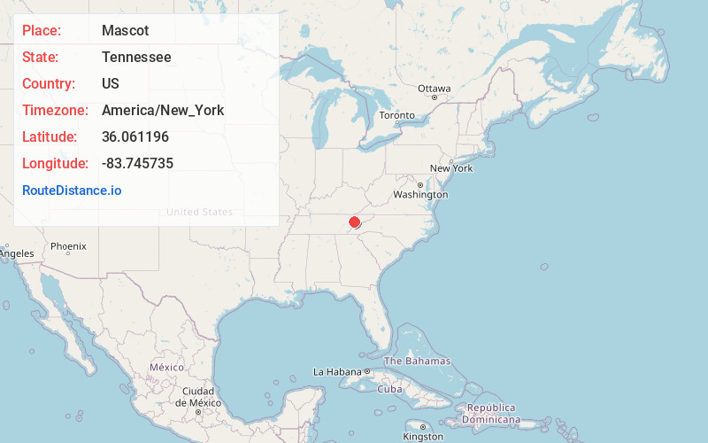
Full AddressMascot, TN
-
Coordinates36.0611959, -83.745735
-
LocationMascot , Tennessee , US
-
TimezoneAmerica/New_York
-
Current Local Time12:43:17 AM America/New_YorkTuesday, June 10, 2025
-
Page Views0
About Mascot
Mascot is a census-designated place in Knox County, Tennessee. The population was 2,760 in the 2020 census, up from 2,411 in the 2010 census.
Nearby Places
Found 10 places within 50 miles

Strawberry Plains
3.3 mi
5.3 km
Strawberry Plains, TN 37871
Get directions

Seymour
13.1 mi
21.1 km
Seymour, TN 37865
Get directions

Powell
15.9 mi
25.6 km
Powell, TN 37849
Get directions

Sevierville
16.8 mi
27.0 km
Sevierville, TN
Get directions

Dandridge
18.8 mi
30.3 km
Dandridge, TN
Get directions

Eagleton Village
21.1 mi
34.0 km
Eagleton Village, TN 37804
Get directions

Pigeon Forge
21.3 mi
34.3 km
Pigeon Forge, TN
Get directions

Karns
21.3 mi
34.3 km
Karns, TN 37931
Get directions

Clinton
21.8 mi
35.1 km
Clinton, TN 37716
Get directions

Alcoa
22.7 mi
36.5 km
Alcoa, TN
Get directions
Location Links
Local Weather
Weather Information
Coming soon!
Location Map
Static map view of Mascot, Tennessee
Browse Places by Distance
Places within specific distances from Mascot
Short Distances
Long Distances
Click any distance to see all places within that range from Mascot. Distances shown in miles (1 mile ≈ 1.61 kilometers).