Distance to Blairstown, Missouri

Calculating Your Route
Just a moment while we process your request...
Location Information
-
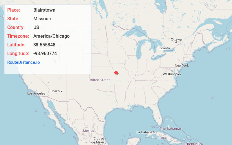
Full AddressBlairstown, MO 64726
-
Coordinates38.5558482, -93.960774
-
LocationBlairstown , Missouri , US
-
TimezoneAmerica/Chicago
-
Current Local Time12:55:36 AM America/ChicagoWednesday, May 21, 2025
-
Page Views0
About Blairstown
Blairstown is a village in Henry County, Missouri, United States. The population was 97 at the 2010 census. A post office, and a firearms store are located there.
Nearby Places
Found 10 places within 50 miles

Denton
4.3 mi
6.9 km
Denton, Chilhowee Township, MO 64040
Get directions

Chilhowee
6.2 mi
10.0 km
Chilhowee, MO 64733
Get directions

Urich
7.0 mi
11.3 km
Urich, MO 64788
Get directions

Creighton
7.4 mi
11.9 km
Creighton, MO 64739
Get directions
La Tour
9.4 mi
15.1 km
La Tour, MO 64040
Get directions

Holden
11.1 mi
17.9 km
Holden, MO 64040
Get directions

Garden City
12.5 mi
20.1 km
Garden City, MO 64747
Get directions
Gunn City
13.3 mi
21.4 km
Gunn City, MO 64747
Get directions
Kingsville
14.2 mi
22.9 km
Kingsville, MO 64061
Get directions
Centerview
14.4 mi
23.2 km
Centerview, MO 64019
Get directions
Location Links
Local Weather
Weather Information
Coming soon!
Location Map
Static map view of Blairstown, Missouri
Browse Places by Distance
Places within specific distances from Blairstown
Short Distances
Long Distances
Click any distance to see all places within that range from Blairstown. Distances shown in miles (1 mile ≈ 1.61 kilometers).