Distance to Blakeland, Colorado

Calculating Your Route
Just a moment while we process your request...
Location Information
-
Full AddressBlakeland, Highlands Ranch, CO 80125
-
Coordinates39.5597103, -105.0366509
-
LocationHighlands Ranch , Colorado , US
-
TimezoneAmerica/Denver
-
Current Local Time7:46:17 PM America/DenverMonday, June 30, 2025
-
Page Views0
Nearby Places
Found 10 places within 50 miles

Columbine
2.6 mi
4.2 km
Columbine, CO
Get directions

Columbine Valley
2.9 mi
4.7 km
Columbine Valley, CO
Get directions

Highlands Ranch
3.4 mi
5.5 km
Highlands Ranch, CO
Get directions

Littleton
3.9 mi
6.3 km
Littleton, CO
Get directions

Ken Caryl
4.2 mi
6.8 km
Ken Caryl, CO
Get directions

Bow Mar
4.8 mi
7.7 km
Bow Mar, CO
Get directions

Louviers
5.9 mi
9.5 km
Louviers, CO
Get directions

Greenwood Village
6.1 mi
9.8 km
Greenwood Village, CO
Get directions

Sheridan
6.1 mi
9.8 km
Sheridan, CO
Get directions

Englewood
6.6 mi
10.6 km
Englewood, CO
Get directions
Location Links
Local Weather
Weather Information
Coming soon!
Location Map
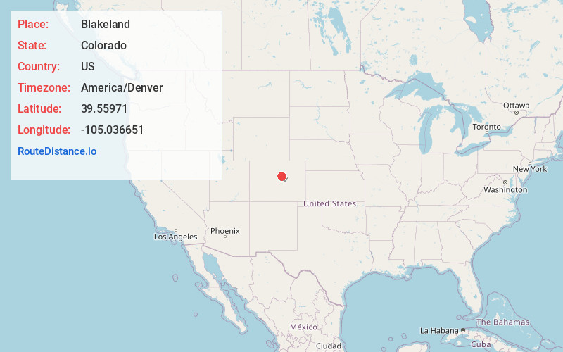
Static map view of Blakeland, Colorado
Browse Places by Distance
Places within specific distances from Blakeland
Short Distances
Long Distances
Click any distance to see all places within that range from Blakeland. Distances shown in miles (1 mile ≈ 1.61 kilometers).