Distance to Highlands Ranch, Colorado

Calculating Your Route
Just a moment while we process your request...
Location Information
-
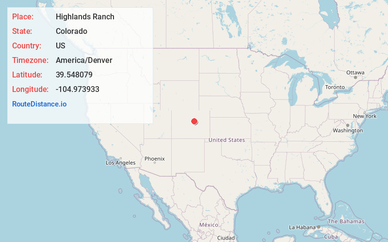
Full AddressHighlands Ranch, CO
-
Coordinates39.5480789, -104.9739333
-
LocationHighlands Ranch , Colorado , US
-
TimezoneAmerica/Denver
-
Current Local Time8:42:52 PM America/DenverThursday, May 29, 2025
-
Page Views1
About Highlands Ranch
Highlands Ranch is an unincorporated community and a census-designated place located in and governed by Douglas County, Colorado, United States. The CDP is a part of the Denver–Aurora–Lakewood, CO Metropolitan Statistical Area.


Nearby Places
Found 10 places within 50 miles

Lone Tree
4.8 mi
7.7 km
Lone Tree, CO
Get directions

Columbine Valley
4.8 mi
7.7 km
Columbine Valley, CO
Get directions

Greenwood Village
4.9 mi
7.9 km
Greenwood Village, CO
Get directions

Littleton
5.0 mi
8.0 km
Littleton, CO
Get directions

Louviers
5.2 mi
8.4 km
Louviers, CO
Get directions

Centennial
5.6 mi
9.0 km
Centennial, CO
Get directions

Columbine
5.8 mi
9.3 km
Columbine, CO
Get directions

Inverness
6.0 mi
9.7 km
Inverness, CO 80112
Get directions

Castle Pines
6.8 mi
10.9 km
Castle Pines, CO 80108
Get directions

Bow Mar
6.9 mi
11.1 km
Bow Mar, CO
Get directions
Location Links
Local Weather
Weather Information
Coming soon!
Location Map
Static map view of Highlands Ranch, Colorado
Browse Places by Distance
Places within specific distances from Highlands Ranch
Short Distances
Long Distances
Click any distance to see all places within that range from Highlands Ranch. Distances shown in miles (1 mile ≈ 1.61 kilometers).