Distance to Castle Pines, Colorado

Calculating Your Route
Just a moment while we process your request...
Location Information
-
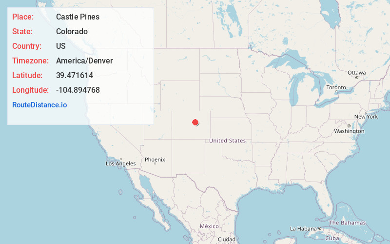
Full AddressCastle Pines, CO 80108
-
Coordinates39.4716139, -104.8947682
-
LocationCastle Pines , Colorado , US
-
TimezoneAmerica/Denver
-
Current Local Time7:42:40 AM America/DenverTuesday, May 20, 2025
-
Page Views0
About Castle Pines
The City of Castle Pines is a home rule municipality located in Douglas County, Colorado, United States. The city population was 11,036 at the 2020 United States census. Castle Pines is a part of the Denver–Aurora–Lakewood, CO Metropolitan Statistical Area and the Front Range Urban Corridor.


Nearby Places
Found 10 places within 50 miles

Lone Tree
4.5 mi
7.2 km
Lone Tree, CO
Get directions

Castle Rock
7.2 mi
11.6 km
Castle Rock, CO
Get directions

Centennial
7.6 mi
12.2 km
Centennial, CO
Get directions

Parker
7.8 mi
12.6 km
Parker, CO
Get directions

Greenwood Village
10.5 mi
16.9 km
Greenwood Village, CO
Get directions

Littleton
11.7 mi
18.8 km
Littleton, CO
Get directions

Columbine
12.3 mi
19.8 km
Columbine, CO
Get directions

Englewood
13.1 mi
21.1 km
Englewood, CO
Get directions

Ken Caryl
13.6 mi
21.9 km
Ken Caryl, CO
Get directions

Aurora
18.1 mi
29.1 km
Aurora, CO
Get directions
Location Links
Local Weather
Weather Information
Coming soon!
Location Map
Static map view of Castle Pines, Colorado
Browse Places by Distance
Places within specific distances from Castle Pines
Short Distances
Long Distances
Click any distance to see all places within that range from Castle Pines. Distances shown in miles (1 mile ≈ 1.61 kilometers).