Distance to Blanco, New Mexico

Calculating Your Route
Just a moment while we process your request...
Location Information
-
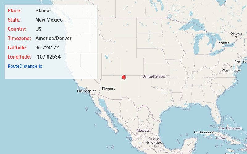
Full AddressBlanco, NM
-
Coordinates36.7241723, -107.8253397
-
LocationBlanco , New Mexico , US
-
TimezoneAmerica/Denver
-
Current Local Time4:01:07 AM America/DenverWednesday, May 21, 2025
-
Page Views0
About Blanco
Blanco is a census-designated place in San Juan County, New Mexico, United States. Its population was 388 as of the 2010 census. Blanco has a post office with ZIP code 87412, which opened on March 6, 1901. U.S. Route 64 passes through the community.


Nearby Places
Found 10 places within 50 miles

Turley
3.9 mi
6.3 km
Turley, NM 87412
Get directions

Bloomfield
8.9 mi
14.3 km
Bloomfield, NM
Get directions

Lee Acres
11.8 mi
19.0 km
Lee Acres, NM 87401
Get directions

Navajo Dam
12.9 mi
20.8 km
Navajo Dam, NM
Get directions

Navajo City
13.0 mi
20.9 km
Navajo City, NM 87412
Get directions
Flora Vista
14.9 mi
24.0 km
Flora Vista, NM
Get directions
Huerfano
17.8 mi
28.6 km
Huerfano, NM 87413
Get directions

Farmington
21.8 mi
35.1 km
Farmington, NM
Get directions
Bondad
22.4 mi
36.0 km
Bondad, CO 81303
Get directions
Napi HQ
22.5 mi
36.2 km
Napi HQ, NM
Get directions
Location Links
Local Weather
Weather Information
Coming soon!
Location Map
Static map view of Blanco, New Mexico
Browse Places by Distance
Places within specific distances from Blanco
Short Distances
Long Distances
Click any distance to see all places within that range from Blanco. Distances shown in miles (1 mile ≈ 1.61 kilometers).