Distance to Navajo City, New Mexico

Calculating Your Route
Just a moment while we process your request...
Location Information
-
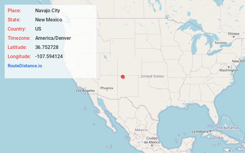
Full AddressNavajo City, NM 87412
-
Coordinates36.752728, -107.594124
-
LocationNavajo City , New Mexico , US
-
TimezoneAmerica/Denver
-
Current Local Time7:50:06 AM America/DenverSaturday, June 21, 2025
-
Page Views0
About Navajo City
Navajo City is an unincorporated community in Rio Arriba County, New Mexico, United States, just north and east, of the Navajo Nation in the northwestern part of the state.
Housing for workers was set up during the construction of Navajo Dam in the early 1960s at the junction of the Los Pinos and the San Juan Rivers.


Nearby Places
Found 10 places within 50 miles

Navajo Dam
3.4 mi
5.5 km
Navajo Dam, NM
Get directions

Turley
9.5 mi
15.3 km
Turley, NM 87412
Get directions

La Boca
17.9 mi
28.8 km
La Boca, CO 81137
Get directions
Allison
19.7 mi
31.7 km
Allison, CO 81137
Get directions

Arboles
21.3 mi
34.3 km
Arboles, CO
Get directions

Bloomfield
21.8 mi
35.1 km
Bloomfield, NM
Get directions

Southern Ute
22.5 mi
36.2 km
Southern Ute, CO 81137
Get directions
Lee Acres
24.8 mi
39.9 km
Lee Acres, NM 87401
Get directions

Ignacio
25.1 mi
40.4 km
Ignacio, CO 81137
Get directions
Bondad
25.6 mi
41.2 km
Bondad, CO 81303
Get directions
Location Links
Local Weather
Weather Information
Coming soon!
Location Map
Static map view of Navajo City, New Mexico
Browse Places by Distance
Places within specific distances from Navajo City
Short Distances
Long Distances
Click any distance to see all places within that range from Navajo City. Distances shown in miles (1 mile ≈ 1.61 kilometers).