Distance to Ignacio, Colorado

Calculating Your Route
Just a moment while we process your request...
Location Information
-
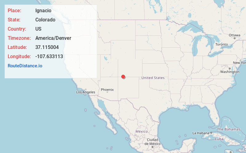
Full AddressIgnacio, CO 81137
-
Coordinates37.1150037, -107.633113
-
LocationIgnacio , Colorado , US
-
TimezoneAmerica/Denver
-
Current Local Time7:32:51 PM America/DenverWednesday, June 18, 2025
-
Website
-
Page Views0
About Ignacio
The Town of Ignacio is a Statutory Town in La Plata County, Colorado, United States. The population was 852 at the 2020 United States census. Ignacio is the headquarters of the Southern Ute Indian Reservation.

Nearby Places
Found 9 places within 50 miles

Bayfield
7.9 mi
12.7 km
Bayfield, CO 81122
Get directions

Durango
17.4 mi
28.0 km
Durango, CO
Get directions

Flora Vista
33.2 mi
53.4 km
Flora Vista, NM
Get directions

La Plata
33.3 mi
53.6 km
La Plata, NM
Get directions

Bloomfield
34.0 mi
54.7 km
Bloomfield, NM
Get directions

Pagosa Springs
35.9 mi
57.8 km
Pagosa Springs, CO 81147
Get directions
Lee Acres
36.4 mi
58.6 km
Lee Acres, NM 87401
Get directions

Farmington
42.0 mi
67.6 km
Farmington, NM
Get directions

Upper Fruitland
46.9 mi
75.5 km
Upper Fruitland, NM
Get directions
Location Links
Local Weather
Weather Information
Coming soon!
Location Map
Static map view of Ignacio, Colorado
Browse Places by Distance
Places within specific distances from Ignacio
Short Distances
Long Distances
Click any distance to see all places within that range from Ignacio. Distances shown in miles (1 mile ≈ 1.61 kilometers).