Distance to Blanton, Oklahoma

Calculating Your Route
Just a moment while we process your request...
Location Information
-
Full AddressBlanton, Enid, OK 73703
-
Coordinates36.4278109, -97.9270038
-
LocationEnid , Oklahoma , US
-
TimezoneAmerica/Chicago
-
Current Local Time2:02:58 PM America/ChicagoFriday, June 20, 2025
-
Page Views0
About Blanton
Blanton is an unincorporated community in Garfield County, Oklahoma, United States. It was a rail stop for two rail lines, one of which used to transport grain until the mid-1990s. It was named after Denver, Enid and Gulf Railroad executive W. B. Blanton.
Nearby Places
Found 10 places within 50 miles

Jonah
1.7 mi
2.7 km
Jonah, OK 73703
Get directions
North Enid
3.3 mi
5.3 km
North Enid, OK 73701
Get directions

Enid
3.5 mi
5.6 km
Enid, OK
Get directions
Ituna
4.5 mi
7.2 km
Ituna, OK 73727
Get directions
Imo
5.8 mi
9.3 km
Imo, OK 73703
Get directions
Carrier
6.3 mi
10.1 km
Carrier, OK 73727
Get directions

Lahoma
9.5 mi
15.3 km
Lahoma, OK 73754
Get directions
Kremlin
9.8 mi
15.8 km
Kremlin, OK 73753
Get directions
Hillsdale
10.0 mi
16.1 km
Hillsdale, OK
Get directions
Waukomis
10.3 mi
16.6 km
Waukomis, OK 73773
Get directions
Location Links
Local Weather
Weather Information
Coming soon!
Location Map
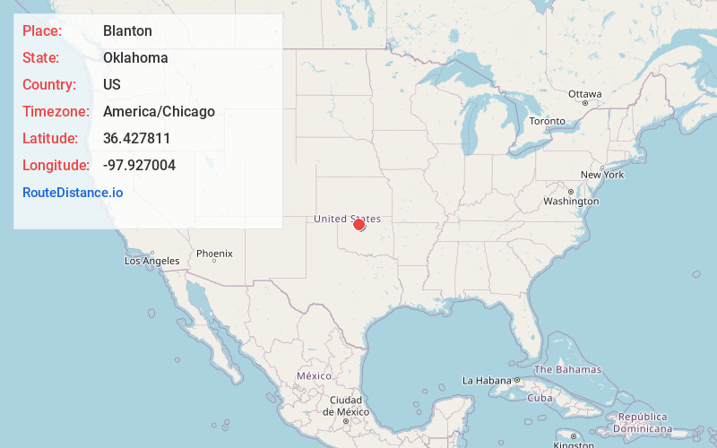
Static map view of Blanton, Oklahoma
Browse Places by Distance
Places within specific distances from Blanton
Short Distances
Long Distances
Click any distance to see all places within that range from Blanton. Distances shown in miles (1 mile ≈ 1.61 kilometers).