Distance to Lahoma, Oklahoma

Calculating Your Route
Just a moment while we process your request...
Location Information
-
Full AddressLahoma, OK 73754
-
Coordinates36.3875336, -98.0897864
-
LocationLahoma , Oklahoma , US
-
TimezoneAmerica/Chicago
-
Current Local Time10:20:11 PM America/ChicagoThursday, June 19, 2025
-
Page Views0
About Lahoma
Lahoma is a town in Garfield County, Oklahoma, United States. The population was 611 at the 2010 census, a 5.9 percent gain over the figure of 577 in 2000. Its name was formed from the last three syllables of Oklahoma. Until the 1960s, Lahoma was a farm town.


Nearby Places
Found 10 places within 50 miles

Enid
11.8 mi
19.0 km
Enid, OK
Get directions

North Enid
12.7 mi
20.4 km
North Enid, OK 73701
Get directions
Waukomis
13.0 mi
20.9 km
Waukomis, OK 73773
Get directions

Helena
14.8 mi
23.8 km
Helena, OK 73741
Get directions

Hennessey
22.0 mi
35.4 km
Hennessey, OK 73742
Get directions

Okeene
22.6 mi
36.4 km
Okeene, OK 73763
Get directions

Fairview
23.2 mi
37.3 km
Fairview, OK 73737
Get directions

Pond Creek
25.2 mi
40.6 km
Pond Creek, OK 73766
Get directions

Garber
28.2 mi
45.4 km
Garber, OK 73738
Get directions

Cherokee
29.4 mi
47.3 km
Cherokee, OK 73728
Get directions
Location Links
Local Weather
Weather Information
Coming soon!
Location Map
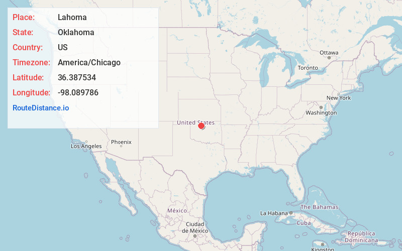
Static map view of Lahoma, Oklahoma
Browse Places by Distance
Places within specific distances from Lahoma
Short Distances
Long Distances
Click any distance to see all places within that range from Lahoma. Distances shown in miles (1 mile ≈ 1.61 kilometers).