Distance to Blocker, Oklahoma

Calculating Your Route
Just a moment while we process your request...
Location Information
-
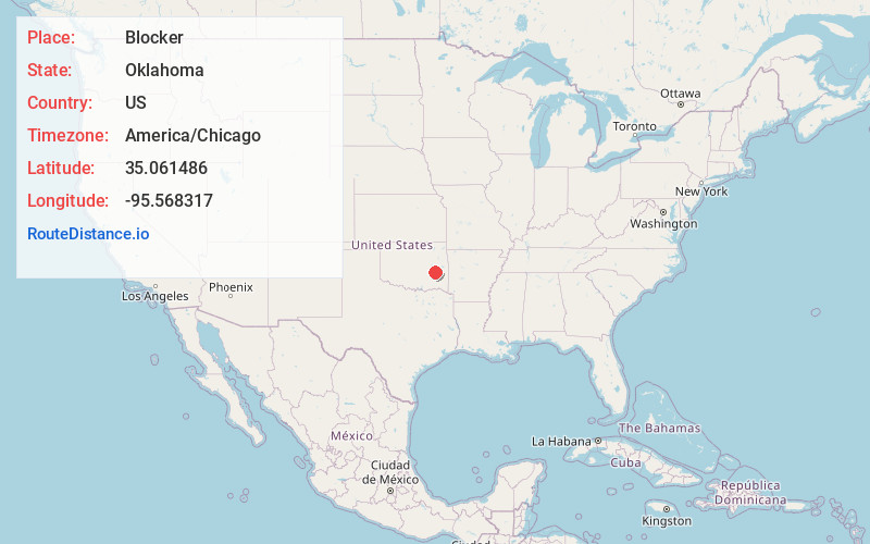
Full AddressBlocker, OK 74501
-
Coordinates35.0614862, -95.5683171
-
LocationBlocker , Oklahoma , US
-
TimezoneAmerica/Chicago
-
Current Local Time2:23:26 AM America/ChicagoThursday, June 19, 2025
-
Page Views0
About Blocker
Blocker is an unincorporated community located on State Highway 31 in Pittsburg County, Oklahoma, United States. The post office opened April 26, 1905. The ZIP code is 74529. The community is said to have been named for a local coal dealer, Eads Blocker.
Nearby Places
Found 10 places within 50 miles

Massey Point
4.3 mi
6.9 km
Massey Point, OK 74501
Get directions
Featherston
4.6 mi
7.4 km
Featherston, OK 74501
Get directions
Bristow Point
4.9 mi
7.9 km
Bristow Point, OK 74425
Get directions

Crowder
7.2 mi
11.6 km
Crowder, OK 74501
Get directions
Bug Tussle
7.4 mi
11.9 km
Bug Tussle, OK 74501
Get directions
Reams
7.5 mi
12.1 km
Reams, OK 74501
Get directions
Coal Creek
8.2 mi
13.2 km
Coal Creek, Oklahoma 74501
Get directions

Canadian
9.4 mi
15.1 km
Canadian, OK 74425
Get directions
Adamson
9.6 mi
15.4 km
Adamson, OK 74547
Get directions
Russellville
9.8 mi
15.8 km
Russellville, OK 74561
Get directions
Location Links
Local Weather
Weather Information
Coming soon!
Location Map
Static map view of Blocker, Oklahoma
Browse Places by Distance
Places within specific distances from Blocker
Short Distances
Long Distances
Click any distance to see all places within that range from Blocker. Distances shown in miles (1 mile ≈ 1.61 kilometers).