Distance to Bloom, Kansas

Calculating Your Route
Just a moment while we process your request...
Location Information
-
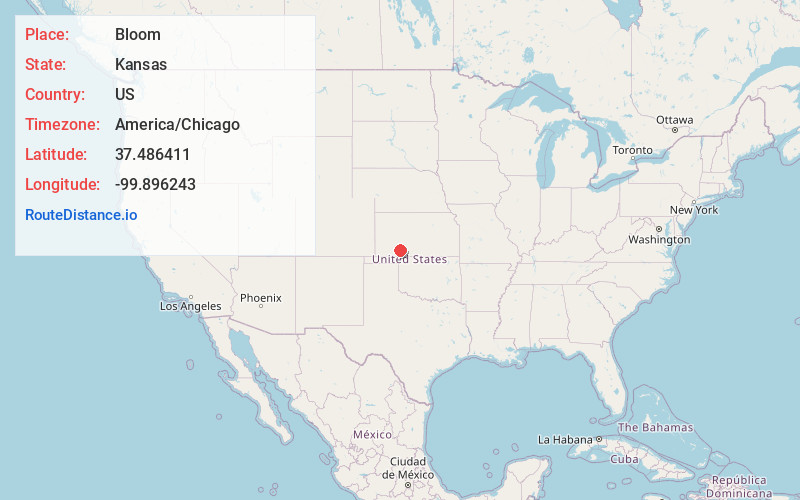
Full AddressBloom, KS 67865
-
Coordinates37.4864106, -99.8962428
-
LocationBloom , Kansas , US
-
TimezoneAmerica/Chicago
-
Current Local Time12:25:28 PM America/ChicagoWednesday, May 21, 2025
-
Page Views0
About Bloom
Bloom is an unincorporated community in Ford County, Kansas, United States. Its post office closed in 1992. At a 2018 estimate, the community had a population of 94. It is located along U.S. Route 54 highway.

Nearby Places
Found 10 places within 50 miles

Minneola
7.2 mi
11.6 km
Minneola, KS 67865
Get directions

Wilroads
14.9 mi
24.0 km
Wilroads, KS 67801
Get directions

Bucklin
15.0 mi
24.1 km
Bucklin, KS 67834
Get directions
Wilroads Gardens
15.9 mi
25.6 km
Wilroads Gardens, KS 67801
Get directions

Fort Dodge
17.1 mi
27.5 km
Fort Dodge, KS
Get directions
Fowler
17.8 mi
28.6 km
Fowler, KS 67844
Get directions

Dodge City
19.8 mi
31.9 km
Dodge City, KS 67801
Get directions

Wright
20.3 mi
32.7 km
Wright, KS 67882
Get directions

Ensign
21.8 mi
35.1 km
Ensign, KS 67841
Get directions

Ashland
21.8 mi
35.1 km
Ashland, KS 67831
Get directions
Location Links
Local Weather
Weather Information
Coming soon!
Location Map
Static map view of Bloom, Kansas
Browse Places by Distance
Places within specific distances from Bloom
Short Distances
Long Distances
Click any distance to see all places within that range from Bloom. Distances shown in miles (1 mile ≈ 1.61 kilometers).