Distance to Bloomfield, Iowa

Calculating Your Route
Just a moment while we process your request...
Location Information
-
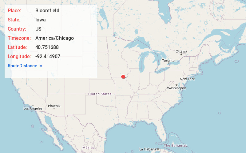
Full AddressBloomfield, IA 52537
-
Coordinates40.7516884, -92.4149074
-
LocationBloomfield , Iowa , US
-
TimezoneAmerica/Chicago
-
Current Local Time4:04:30 PM America/ChicagoWednesday, June 18, 2025
-
Website
-
Page Views0
About Bloomfield
Bloomfield is a city and the county seat of Davis County, Iowa, United States. The population was 2,682 at the 2020 census.


Nearby Places
Found 6 places within 50 miles

Ottumwa
18.3 mi
29.5 km
Ottumwa, IA 52501
Get directions

Centerville
24.1 mi
38.8 km
Centerville, IA 52544
Get directions

Albia
28.3 mi
45.5 km
Albia, IA 52531
Get directions

Oskaloosa
39.3 mi
63.2 km
Oskaloosa, IA 52577
Get directions

Kirksville
39.5 mi
63.6 km
Kirksville, MO 63501
Get directions

Mt Pleasant
47.7 mi
76.8 km
Mt Pleasant, IA 52641
Get directions
Location Links
Local Weather
Weather Information
Coming soon!
Location Map
Static map view of Bloomfield, Iowa
Browse Places by Distance
Places within specific distances from Bloomfield
Short Distances
Long Distances
Click any distance to see all places within that range from Bloomfield. Distances shown in miles (1 mile ≈ 1.61 kilometers).