Distance to Bloomville, Ohio

Calculating Your Route
Just a moment while we process your request...
Location Information
-
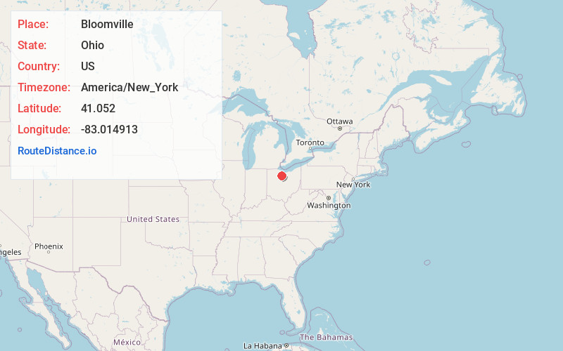
Full AddressBloomville, OH 44818
-
Coordinates41.0520001, -83.0149129
-
LocationBloomville , Ohio , US
-
TimezoneAmerica/New_York
-
Current Local Time8:12:33 AM America/New_YorkTuesday, June 3, 2025
-
Page Views0
About Bloomville
Bloomville is a village in Seneca County, Ohio, United States. The population was 867 at the 2020 census.
Nearby Places
Found 10 places within 50 miles

Tiffin
9.5 mi
15.3 km
Tiffin, OH 44883
Get directions

New Washington
10.4 mi
16.7 km
New Washington, OH 44854
Get directions

Green Springs
14.2 mi
22.9 km
Green Springs, OH 44836
Get directions

Willard
15.0 mi
24.1 km
Willard, OH 44890
Get directions

Bucyrus
17.0 mi
27.4 km
Bucyrus, OH 44820
Get directions

Clyde
17.5 mi
28.2 km
Clyde, OH 43410
Get directions

Bellevue
17.8 mi
28.6 km
Bellevue, OH 44811
Get directions

Plymouth
18.5 mi
29.8 km
Plymouth, OH 44865
Get directions
Ballville
20.0 mi
32.2 km
Ballville, OH 43420
Get directions

Carey
20.4 mi
32.8 km
Carey, OH 43316
Get directions
Location Links
Local Weather
Weather Information
Coming soon!
Location Map
Static map view of Bloomville, Ohio
Browse Places by Distance
Places within specific distances from Bloomville
Short Distances
Long Distances
Click any distance to see all places within that range from Bloomville. Distances shown in miles (1 mile ≈ 1.61 kilometers).