Distance to Blountsville, Alabama

Calculating Your Route
Just a moment while we process your request...
Location Information
-
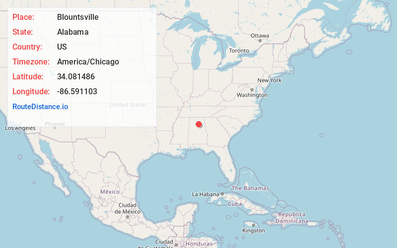
Full AddressBlountsville, AL 35031
-
Coordinates34.0814863, -86.5911026
-
LocationBlountsville , Alabama , US
-
TimezoneAmerica/Chicago
-
Current Local Time8:20:08 PM America/ChicagoTuesday, June 24, 2025
-
Page Views0
About Blountsville
Blountsville is a town in Blount County, Alabama, United States. As of the 2010 census it had a population of 1,684.
Blount County was created by the Alabama territorial legislature on February 6, 1818, from land ceded to the federal government by the Creek Nation on August 9, 1814.


Nearby Places
Found 10 places within 50 miles

Hanceville
10.2 mi
16.4 km
Hanceville, AL 35077
Get directions

Oneonta
11.4 mi
18.3 km
Oneonta, AL
Get directions

Good Hope
15.7 mi
25.3 km
Good Hope, AL
Get directions

Cullman
15.8 mi
25.4 km
Cullman, AL
Get directions

Arab
17.2 mi
27.7 km
Arab, AL 35016
Get directions

Remlap
18.3 mi
29.5 km
Remlap, AL
Get directions

Springville
22.3 mi
35.9 km
Springville, AL
Get directions

Warrior
22.3 mi
35.9 km
Warrior, AL
Get directions

Kimberly
24.8 mi
39.9 km
Kimberly, AL
Get directions

Albertville
25.4 mi
40.9 km
Albertville, AL
Get directions
Location Links
Local Weather
Weather Information
Coming soon!
Location Map
Static map view of Blountsville, Alabama
Browse Places by Distance
Places within specific distances from Blountsville
Short Distances
Long Distances
Click any distance to see all places within that range from Blountsville. Distances shown in miles (1 mile ≈ 1.61 kilometers).