Distance to Blue Bell Campground, South Dakota

Calculating Your Route
Just a moment while we process your request...
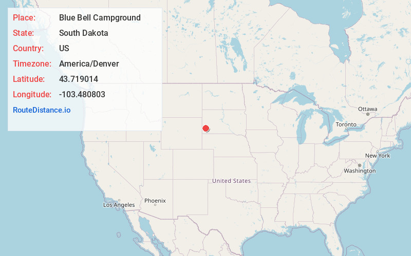
Location Information
-
Full AddressBlue Bell Campground, 12882 N Lame Johnny Rd, Custer, SD 57730
-
Coordinates43.719014, -103.4808032
-
Street12882 N Lame Johnny Rd
-
LocationCuster , South Dakota , US
-
TimezoneAmerica/Denver
-
Current Local Time8:53:15 AM America/DenverSunday, June 15, 2025
-
Page Views0


Nearby Places
Found 10 places within 50 miles

Custer
6.7 mi
10.8 km
Custer, SD 57730
Get directions

Pringle
9.5 mi
15.3 km
Pringle, SD
Get directions

Oreville
12.5 mi
20.1 km
Oreville, West Pennington, SD 57730
Get directions

Keystone
12.6 mi
20.3 km
Keystone, SD 57751
Get directions

Fairburn
13.6 mi
21.9 km
Fairburn, SD 57738
Get directions

Hill City
15.5 mi
24.9 km
Hill City, SD
Get directions

Hermosa
16.7 mi
26.9 km
Hermosa, SD 57744
Get directions

Buffalo Gap
17.8 mi
28.6 km
Buffalo Gap, SD 57722
Get directions
Ajax
19.3 mi
31.1 km
Ajax, SD 57744
Get directions
Tigerville
19.5 mi
31.4 km
Tigerville, West Pennington, SD 57745
Get directions
Location Links
Local Weather
Weather Information
Coming soon!
Location Map
Static map view of Blue Bell Campground, South Dakota
Browse Places by Distance
Places within specific distances from Blue Bell Campground
Short Distances
Long Distances
Click any distance to see all places within that range from Blue Bell Campground. Distances shown in miles (1 mile ≈ 1.61 kilometers).