Distance to Blue Gap, Kentucky

Calculating Your Route
Just a moment while we process your request...
Location Information
-
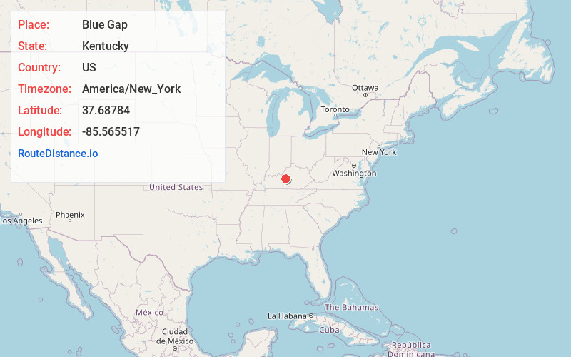
Full AddressBlue Gap, KY 40051
-
Coordinates37.6878398, -85.565517
-
LocationKentucky , US
-
TimezoneAmerica/New_York
-
Current Local Time4:48:27 AM America/New_YorkSaturday, June 28, 2025
-
Page Views0
Nearby Places
Found 10 places within 50 miles

Culvertown
2.3 mi
3.7 km
Culvertown, KY 40051
Get directions

New Haven
2.5 mi
4.0 km
New Haven, KY 40051
Get directions
Lyons
2.7 mi
4.3 km
Lyons, KY 40051
Get directions
Balltown
4.8 mi
7.7 km
Balltown, KY 40004
Get directions
Nelsonville
5.0 mi
8.0 km
Nelsonville, KY 40107
Get directions
Greenbrier
6.5 mi
10.5 km
Greenbrier, KY 40004
Get directions
Dant
7.0 mi
11.3 km
Dant, KY 40037
Get directions

Nelson County
7.1 mi
11.4 km
Nelson County, KY
Get directions
Roanoke
7.7 mi
12.4 km
Roanoke, KY 40051
Get directions
Howardstown
8.1 mi
13.0 km
Howardstown, KY 40051
Get directions
Location Links
Local Weather
Weather Information
Coming soon!
Location Map
Static map view of Blue Gap, Kentucky
Browse Places by Distance
Places within specific distances from Blue Gap
Short Distances
Long Distances
Click any distance to see all places within that range from Blue Gap. Distances shown in miles (1 mile ≈ 1.61 kilometers).