Distance to Howardstown, Kentucky

Calculating Your Route
Just a moment while we process your request...
Location Information
-
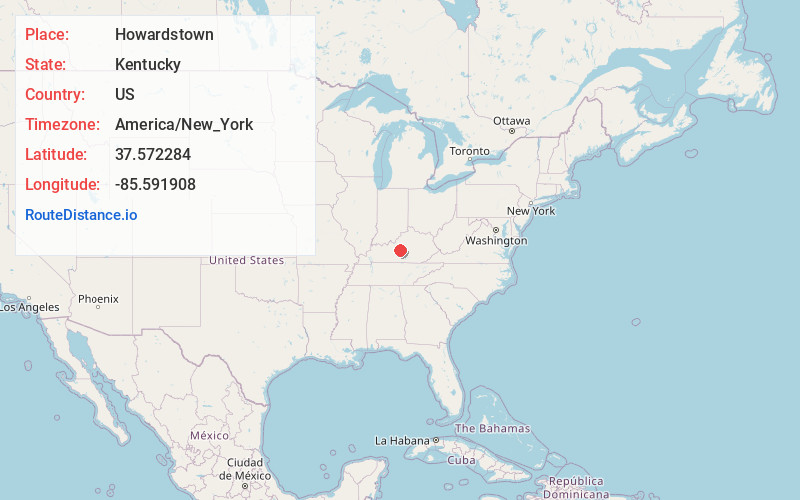
Full AddressHowardstown, KY 40051
-
Coordinates37.5722838, -85.5919075
-
LocationHowardstown , Kentucky , US
-
TimezoneAmerica/New_York
-
Current Local Time12:47:31 PM America/New_YorkMonday, June 23, 2025
-
Page Views0
About Howardstown
Howardstown, Kentucky is an unincorporated community located on the Rolling Fork River in the southern portion of Nelson County, Kentucky, United States.
A post office was established in Howardstown in 1893, and named for the local Howard family.
Nearby Places
Found 10 places within 50 miles

New Haven
6.0 mi
9.7 km
New Haven, KY 40051
Get directions

Buffalo
7.2 mi
11.6 km
Buffalo, KY
Get directions
Hibernia
8.0 mi
12.9 km
Hibernia, KY 42716
Get directions

Hodgenville
8.1 mi
13.0 km
Hodgenville, KY 42748
Get directions
Raywick
8.9 mi
14.3 km
Raywick, KY
Get directions

Loretto
11.4 mi
18.3 km
Loretto, KY 40037
Get directions

Magnolia
12.2 mi
19.6 km
Magnolia, KY 42757
Get directions
Balltown
12.5 mi
20.1 km
Balltown, KY 40004
Get directions
White Rose
12.7 mi
20.4 km
White Rose, KY 42718
Get directions
Maxine
13.4 mi
21.6 km
Maxine, KY 42776
Get directions
Location Links
Local Weather
Weather Information
Coming soon!
Location Map
Static map view of Howardstown, Kentucky
Browse Places by Distance
Places within specific distances from Howardstown
Short Distances
Long Distances
Click any distance to see all places within that range from Howardstown. Distances shown in miles (1 mile ≈ 1.61 kilometers).