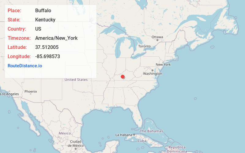
Distance to Buffalo, Kentucky

Calculating Your Route
Just a moment while we process your request...
Location Information
-
Full AddressBuffalo, KY
-
Coordinates37.5120048, -85.6985727
-
LocationBuffalo , Kentucky , US
-
TimezoneAmerica/New_York
-
Current Local Time9:41:07 AM America/New_YorkWednesday, June 18, 2025
-
Page Views0
About Buffalo
Buffalo is an unincorporated community and census-designated place in southern LaRue County, Kentucky, United States. Its population was 498 as of the 2010 census. It lies along Kentucky Route 61 south of the city of Hodgenville, the county seat of LaRue County.
Nearby Places
Found 10 places within 50 miles

Hodgenville
4.9 mi
7.9 km
Hodgenville, KY 42748
Get directions

Magnolia
5.3 mi
8.5 km
Magnolia, KY 42757
Get directions

Sonora
10.7 mi
17.2 km
Sonora, KY
Get directions

Upton
11.2 mi
18.0 km
Upton, KY 42784
Get directions

New Haven
11.6 mi
18.7 km
New Haven, KY 40051
Get directions

Elizabethtown
16.3 mi
26.2 km
Elizabethtown, KY
Get directions

Loretto
18.5 mi
29.8 km
Loretto, KY 40037
Get directions

Munfordville
19.6 mi
31.5 km
Munfordville, KY 42765
Get directions

Greensburg
20.5 mi
33.0 km
Greensburg, KY 42743
Get directions

Rineyville
22.1 mi
35.6 km
Rineyville, KY
Get directions
Location Links
Local Weather
Weather Information
Coming soon!
Location Map
Static map view of Buffalo, Kentucky
Browse Places by Distance
Places within specific distances from Buffalo
Short Distances
Long Distances
Click any distance to see all places within that range from Buffalo. Distances shown in miles (1 mile ≈ 1.61 kilometers).