Distance to Upton, Kentucky

Calculating Your Route
Just a moment while we process your request...
Location Information
-
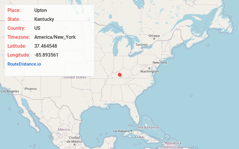
Full AddressUpton, KY 42784
-
Coordinates37.4645475, -85.8935605
-
LocationUpton , Kentucky , US
-
TimezoneAmerica/New_York
-
Current Local Time1:39:59 AM America/New_YorkFriday, June 20, 2025
-
Page Views0
About Upton
Upton is a home rule-class city in Hardin and LaRue counties in the U.S. state of Kentucky. The population was 704 as of the 2020 Census, up from 683 from the 2010 census. Its entire area is included in the Elizabethtown–Fort Knox Metropolitan Statistical Area.


Nearby Places
Found 10 places within 50 miles

Sonora
4.1 mi
6.6 km
Sonora, KY
Get directions

Magnolia
8.3 mi
13.4 km
Magnolia, KY 42757
Get directions

Hodgenville
11.3 mi
18.2 km
Hodgenville, KY 42748
Get directions

Munfordville
13.3 mi
21.4 km
Munfordville, KY 42765
Get directions

Elizabethtown
16.6 mi
26.7 km
Elizabethtown, KY
Get directions

Clarkson
18.2 mi
29.3 km
Clarkson, KY
Get directions

Horse Cave
19.7 mi
31.7 km
Horse Cave, KY 42749
Get directions

Rineyville
20.1 mi
32.3 km
Rineyville, KY
Get directions

New Haven
21.2 mi
34.1 km
New Haven, KY 40051
Get directions

Leitchfield
22.0 mi
35.4 km
Leitchfield, KY 42754
Get directions
Location Links
Local Weather
Weather Information
Coming soon!
Location Map
Static map view of Upton, Kentucky
Browse Places by Distance
Places within specific distances from Upton
Short Distances
Long Distances
Click any distance to see all places within that range from Upton. Distances shown in miles (1 mile ≈ 1.61 kilometers).