Distance to Blue Island, Illinois

Calculating Your Route
Just a moment while we process your request...
Location Information
-
Full AddressBlue Island, IL
-
Coordinates41.6572562, -87.6800486
-
LocationBlue Island , Illinois , US
-
TimezoneAmerica/Chicago
-
Current Local Time8:33:26 PM America/ChicagoSaturday, May 31, 2025
-
Website
-
Page Views0
About Blue Island
Blue Island is a city in Cook County, Illinois, United States, located approximately 16 miles south of Chicago's Loop. Blue Island is adjacent to the city of Chicago and shares its northern boundary with that city's Morgan Park neighborhood. The population was 22,558 at the 2020 United States census.


Nearby Places
Found 10 places within 50 miles

Oak Forest
5.0 mi
8.0 km
Oak Forest, IL
Get directions

Oak Lawn
5.6 mi
9.0 km
Oak Lawn, IL 60453
Get directions

Burbank
7.5 mi
12.1 km
Burbank, IL 60459
Get directions

Tinley Park
8.2 mi
13.2 km
Tinley Park, IL
Get directions

Calumet City
8.3 mi
13.4 km
Calumet City, IL
Get directions

Orland Park
9.2 mi
14.8 km
Orland Park, IL
Get directions

Lansing
9.7 mi
15.6 km
Lansing, IL
Get directions

Hammond
10.6 mi
17.1 km
Hammond, IN
Get directions

Chicago Heights
10.7 mi
17.2 km
Chicago Heights, IL
Get directions

Munster
10.8 mi
17.4 km
Munster, IN 46321
Get directions
Location Links
Local Weather
Weather Information
Coming soon!
Location Map
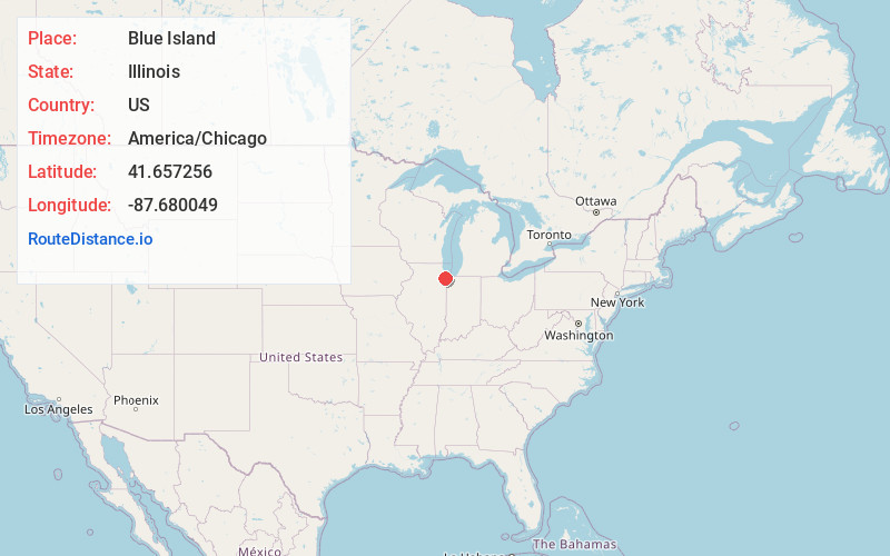
Static map view of Blue Island, Illinois
Browse Places by Distance
Places within specific distances from Blue Island
Short Distances
Long Distances
Click any distance to see all places within that range from Blue Island. Distances shown in miles (1 mile ≈ 1.61 kilometers).