Distance to Blue John, Kentucky

Calculating Your Route
Just a moment while we process your request...
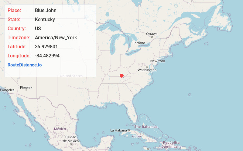
Location Information
-
Full AddressBlue John, KY 42519
-
Coordinates36.9298013, -84.4829941
-
LocationKentucky , US
-
TimezoneAmerica/New_York
-
Current Local Time6:34:25 PM America/New_YorkMonday, June 2, 2025
-
Page Views0
About Blue John
Blue John is an unincorporated community in Pulaski County, Kentucky, United States. Blue John is geographically close to cities like Burnside, Elihu, and Ruth. The area is primarily residential, with scattered historical and genealogical records.
Nearby Places
Found 10 places within 50 miles

Alpine
2.1 mi
3.4 km
Alpine, KY 42519
Get directions
Tateville
5.9 mi
9.5 km
Tateville, KY 42519
Get directions
Meece
7.0 mi
11.3 km
Meece, KY 42501
Get directions
Sawyer
7.5 mi
12.1 km
Sawyer, KY 42634
Get directions

Burnside
7.6 mi
12.2 km
Burnside, KY
Get directions
Colo
8.0 mi
12.9 km
Colo, KY 42501
Get directions
Bronston
8.6 mi
13.8 km
Bronston, KY 42518
Get directions

Honeybee
8.6 mi
13.8 km
Honeybee, KY 42634
Get directions
Beulah Heights
9.0 mi
14.5 km
Beulah Heights, KY 42653
Get directions
Kidder
9.4 mi
15.1 km
Kidder, KY 42518
Get directions
Location Links
Local Weather
Weather Information
Coming soon!
Location Map
Static map view of Blue John, Kentucky
Browse Places by Distance
Places within specific distances from Blue John
Short Distances
Long Distances
Click any distance to see all places within that range from Blue John. Distances shown in miles (1 mile ≈ 1.61 kilometers).