Distance to Blue Point, New York

Calculating Your Route
Just a moment while we process your request...
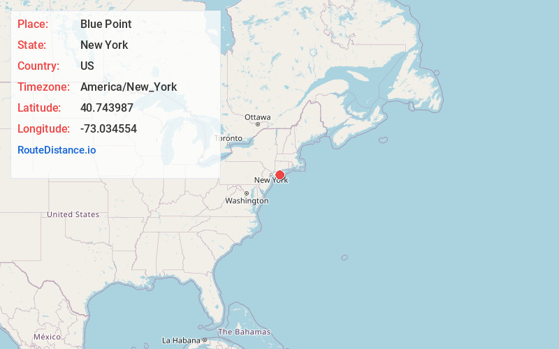
Location Information
-
Full AddressBlue Point, NY
-
Coordinates40.7439872, -73.0345539
-
LocationBlue Point , New York , US
-
TimezoneAmerica/New_York
-
Current Local Time11:45:30 PM America/New_YorkSunday, June 22, 2025
-
Page Views0
About Blue Point
Blue Point is a hamlet and census-designated place in Suffolk County on Long Island, New York, United States. The population was 5,156 at the 2020 census.
Blue Point is in the Town of Brookhaven.


Nearby Places
Found 10 places within 50 miles

Bayport
0.9 mi
1.4 km
Bayport, NY
Get directions

Patchogue
1.7 mi
2.7 km
Patchogue, NY 11772
Get directions

Sayville
2.5 mi
4.0 km
Sayville, NY
Get directions

East Patchogue
2.6 mi
4.2 km
East Patchogue, NY
Get directions

North Patchogue
2.9 mi
4.7 km
North Patchogue, NY 11772
Get directions

West Sayville
3.5 mi
5.6 km
West Sayville, NY
Get directions

Bohemia
4.6 mi
7.4 km
Bohemia, NY 11716
Get directions

Holtsville
5.0 mi
8.0 km
Holtsville, NY
Get directions
North Bellport
5.2 mi
8.4 km
North Bellport, NY
Get directions

Holbrook
5.3 mi
8.5 km
Holbrook, NY
Get directions
Location Links
Local Weather
Weather Information
Coming soon!
Location Map
Static map view of Blue Point, New York
Browse Places by Distance
Places within specific distances from Blue Point
Short Distances
Long Distances
Click any distance to see all places within that range from Blue Point. Distances shown in miles (1 mile ≈ 1.61 kilometers).