Distance to Blue Ridge, Alabama

Calculating Your Route
Just a moment while we process your request...
Location Information
-
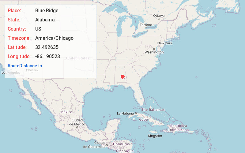
Full AddressBlue Ridge, AL 36093
-
Coordinates32.4926352, -86.1905228
-
LocationBlue Ridge , Alabama , US
-
TimezoneAmerica/Chicago
-
Current Local Time11:44:25 AM America/ChicagoThursday, June 5, 2025
-
Page Views0
About Blue Ridge
Blue Ridge is an unincorporated community and census-designated place in Elmore County, Alabama, United States. At the 2020 census, the population was 1,485. It is part of the Montgomery Metropolitan Statistical Area.
Nearby Places
Found 10 places within 50 miles

Redland
2.5 mi
4.0 km
Redland, AL 36093
Get directions

Wetumpka
3.7 mi
6.0 km
Wetumpka, AL
Get directions
Emerald Mountain
5.4 mi
8.7 km
Emerald Mountain, AL
Get directions

Elmore
7.9 mi
12.7 km
Elmore, AL
Get directions

Millbrook
10.0 mi
16.1 km
Millbrook, AL
Get directions

Montgomery
10.4 mi
16.7 km
Montgomery, AL
Get directions

Holtville
12.5 mi
20.1 km
Holtville, AL
Get directions
Deatsville
14.4 mi
23.2 km
Deatsville, AL 36022
Get directions

Pike Rd
15.3 mi
24.6 km
Pike Rd, AL
Get directions

Prattville
15.8 mi
25.4 km
Prattville, AL
Get directions
Location Links
Local Weather
Weather Information
Coming soon!
Location Map
Static map view of Blue Ridge, Alabama
Browse Places by Distance
Places within specific distances from Blue Ridge
Short Distances
Long Distances
Click any distance to see all places within that range from Blue Ridge. Distances shown in miles (1 mile ≈ 1.61 kilometers).