Distance to Blunt, South Dakota

Calculating Your Route
Just a moment while we process your request...
Location Information
-
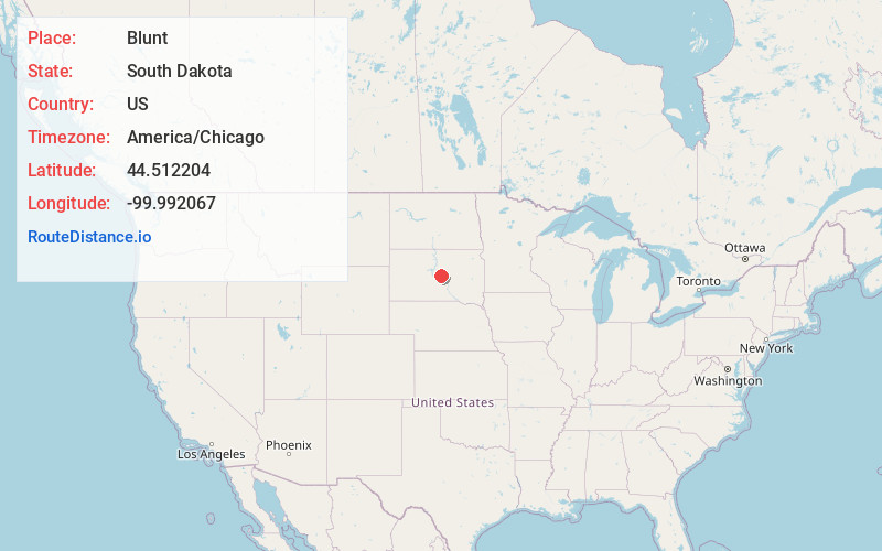
Full AddressBlunt, SD 57522
-
Coordinates44.5122043, -99.9920665
-
LocationBlunt , South Dakota , US
-
TimezoneAmerica/Chicago
-
Current Local Time5:40:22 AM America/ChicagoFriday, May 30, 2025
-
Page Views0
About Blunt
Blunt is a city in Hughes County, South Dakota, United States. It is part of the Pierre, South Dakota Micropolitan Statistical Area. The population was 342 at the 2020 census.


Nearby Places
Found 10 places within 50 miles

Onida
13.9 mi
22.4 km
Onida, SD 57564
Get directions

Pierre
20.5 mi
33.0 km
Pierre, SD 57501
Get directions

Fort Pierre
21.8 mi
35.1 km
Fort Pierre, SD 57532
Get directions

Highmore
27.1 mi
43.6 km
Highmore, SD 57345
Get directions

Gettysburg
34.6 mi
55.7 km
Gettysburg, SD 57442
Get directions

Lower Brule
36.4 mi
58.6 km
Lower Brule, SD 57548
Get directions

South Dakota
37.8 mi
60.8 km
South Dakota
Get directions

Fort Thompson
41.1 mi
66.1 km
Fort Thompson, SD
Get directions

Presho
41.8 mi
67.3 km
Presho, SD 57568
Get directions
Kennebec
42.5 mi
68.4 km
Kennebec, SD 57544
Get directions
Location Links
Local Weather
Weather Information
Coming soon!
Location Map
Static map view of Blunt, South Dakota
Browse Places by Distance
Places within specific distances from Blunt
Short Distances
Long Distances
Click any distance to see all places within that range from Blunt. Distances shown in miles (1 mile ≈ 1.61 kilometers).