Distance to Blytheburn, Pennsylvania

Calculating Your Route
Just a moment while we process your request...
Location Information
-
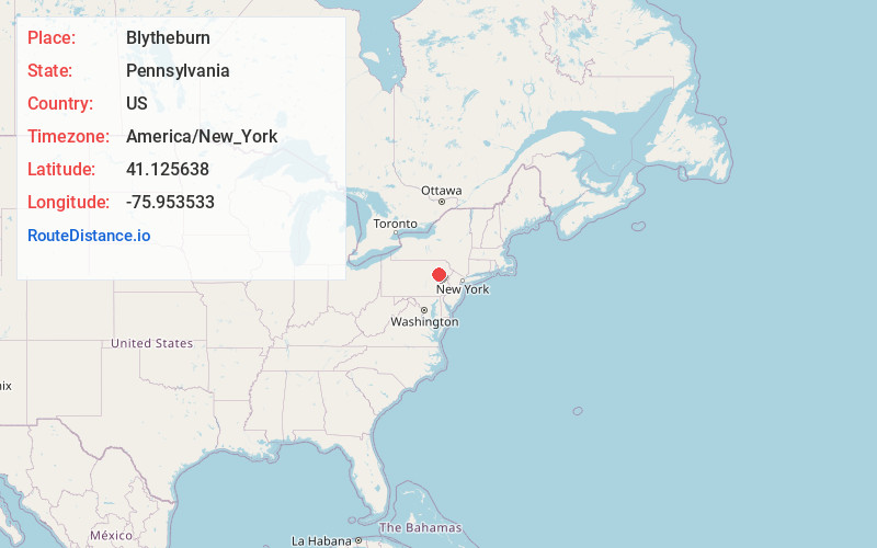
Full AddressBlytheburn, Mountain Top, PA 18707
-
Coordinates41.1256384, -75.9535333
-
LocationMountain Top , Pennsylvania , US
-
TimezoneAmerica/New_York
-
Current Local Time8:17:53 PM America/New_YorkWednesday, June 4, 2025
-
Page Views0
Nearby Places
Found 10 places within 50 miles

Rice Township
1.7 mi
2.7 km
Rice Township, PA 18707
Get directions
Nuangola
2.4 mi
3.9 km
Nuangola, PA
Get directions
Nescopeck Pass
3.4 mi
5.5 km
Nescopeck Pass, Butler Township, PA 18707
Get directions

Dorrance Township
3.5 mi
5.6 km
Dorrance Township, PA
Get directions
Truesdale Terrace
3.6 mi
5.8 km
Truesdale Terrace, Hanover Township, PA 18706
Get directions
Reilly
4.4 mi
7.1 km
Reilly, Dennison Township, PA 18707
Get directions

Warrior Run
4.6 mi
7.4 km
Warrior Run, PA 18706
Get directions

Mountain Top
5.0 mi
8.0 km
Mountain Top, PA 18707
Get directions

Sugar Notch
5.1 mi
8.2 km
Sugar Notch, PA 18706
Get directions
Slocum Township
5.1 mi
8.2 km
Slocum Township, PA
Get directions
Location Links
Local Weather
Weather Information
Coming soon!
Location Map
Static map view of Blytheburn, Pennsylvania
Browse Places by Distance
Places within specific distances from Blytheburn
Short Distances
Long Distances
Click any distance to see all places within that range from Blytheburn. Distances shown in miles (1 mile ≈ 1.61 kilometers).