Distance to Bob Acres, Louisiana

Calculating Your Route
Just a moment while we process your request...
Location Information
-
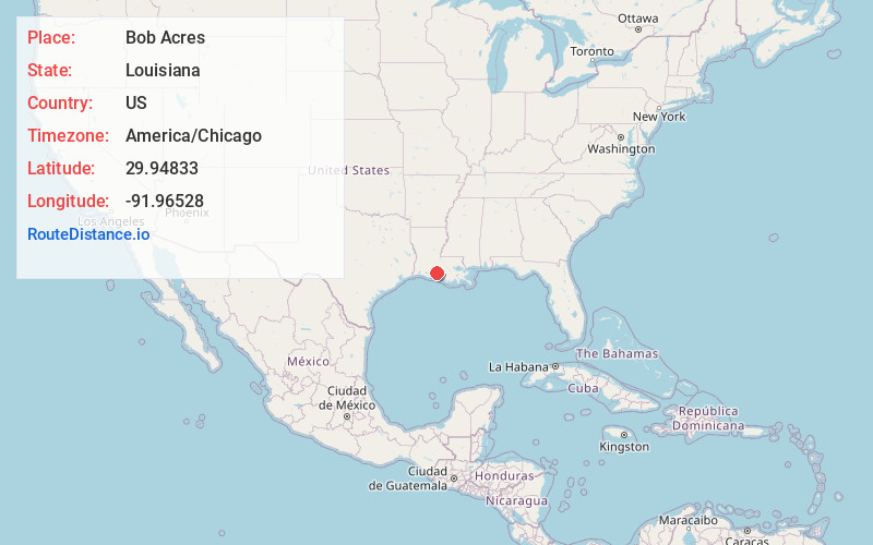
Full AddressBob Acres, LA 70528
-
Coordinates29.94833, -91.96528
-
LocationBob Acres , Louisiana , US
-
TimezoneAmerica/Chicago
-
Current Local Time2:50:30 AM America/ChicagoThursday, June 19, 2025
-
Page Views0
About Bob Acres
Bob Acres is a small unincorporated community in rural Iberia Parish, Louisiana, United States. It was established as a train station by American actor Joseph Jefferson, who owned nearby Orange Island, an inland salt dome that only appeared to be an island from a distance.

Nearby Places
Found 10 places within 50 miles

Delcambre
1.4 mi
2.3 km
Delcambre, LA
Get directions

Poufette
2.1 mi
3.4 km
Poufette, LA 70560
Get directions
Lasalle
2.2 mi
3.5 km
Lasalle, LA 70560
Get directions
Derouen
3.6 mi
5.8 km
Derouen, LA 70560
Get directions

Erath
4.3 mi
6.9 km
Erath, LA 70533
Get directions
Santiague
4.4 mi
7.1 km
Santiague, LA 70560
Get directions
Charlotte
4.5 mi
7.2 km
Charlotte, LA 70560
Get directions

Avery Island
5.1 mi
8.2 km
Avery Island, LA
Get directions
Nicholas
5.3 mi
8.5 km
Nicholas, LA 70560
Get directions
Davids
5.5 mi
8.9 km
Davids, LA 70560
Get directions
Location Links
Local Weather
Weather Information
Coming soon!
Location Map
Static map view of Bob Acres, Louisiana
Browse Places by Distance
Places within specific distances from Bob Acres
Short Distances
Long Distances
Click any distance to see all places within that range from Bob Acres. Distances shown in miles (1 mile ≈ 1.61 kilometers).