Distance to Bob Hoaglin Place, California

Calculating Your Route
Just a moment while we process your request...
Location Information
-
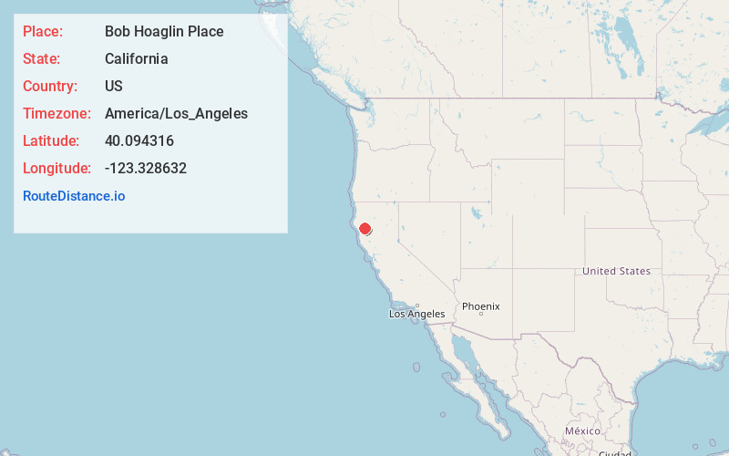
Full AddressBob Hoaglin Place, CA 95595
-
Coordinates40.0943163, -123.3286321
-
LocationBob Hoaglin Place , California , US
-
TimezoneAmerica/Los_Angeles
-
Current Local Time4:44:59 PM America/Los_AngelesSunday, June 22, 2025
-
Page Views0
Nearby Places
Found 10 places within 50 miles

Hoaglin Valley
3.0 mi
4.8 km
Hoaglin Valley, California 95595
Get directions
Crabtree Place
4.3 mi
6.9 km
Crabtree Place, CA 95595
Get directions
Nielson Place
6.1 mi
9.8 km
Nielson Place, CA 95595
Get directions
Delmonico Place
8.2 mi
13.2 km
Delmonico Place, CA 95428
Get directions

Kettenpom
8.2 mi
13.2 km
Kettenpom, CA 95595
Get directions
Mina
9.1 mi
14.6 km
Mina, CA 95428
Get directions
Island Mountain
9.8 mi
15.8 km
Island Mountain, CA 95454
Get directions
Kekawaka
10.1 mi
16.3 km
Kekawaka, CA 95542
Get directions
Ramsey
10.6 mi
17.1 km
Ramsey, CA 95454
Get directions

Zenia
11.5 mi
18.5 km
Zenia, CA 95595
Get directions
Location Links
Local Weather
Weather Information
Coming soon!
Location Map
Static map view of Bob Hoaglin Place, California
Browse Places by Distance
Places within specific distances from Bob Hoaglin Place
Short Distances
Long Distances
Click any distance to see all places within that range from Bob Hoaglin Place. Distances shown in miles (1 mile ≈ 1.61 kilometers).