Distance to Zenia, California

Calculating Your Route
Just a moment while we process your request...
Location Information
-
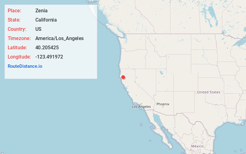
Full AddressZenia, CA 95595
-
Coordinates40.2054245, -123.4919716
-
LocationZenia , California , US
-
TimezoneAmerica/Los_Angeles
-
Current Local Time1:04:05 PM America/Los_AngelesTuesday, June 10, 2025
-
Page Views0
About Zenia
Zenia is an unincorporated community in Trinity County, California, United States. Zenia is 6.5 miles northeast of Alderpoint. Zenia has a post office with ZIP code 95595, which opened in 1899. It is 3.8 miles from Kettenpom.


Nearby Places
Found 10 places within 50 miles

Alderpoint
6.7 mi
10.8 km
Alderpoint, CA 95511
Get directions

Kekawaka
7.7 mi
12.4 km
Kekawaka, CA 95542
Get directions
Fort Seward
8.5 mi
13.7 km
Fort Seward, CA 95511
Get directions
Blocksburg
9.0 mi
14.5 km
Blocksburg, CA 95514
Get directions
Ruth
10.0 mi
16.1 km
Ruth, CA 95552
Get directions
Island Mountain
12.4 mi
20.0 km
Island Mountain, CA 95454
Get directions

Forest Glen
14.5 mi
23.3 km
Forest Glen, CA
Get directions

Phillipsville
15.5 mi
24.9 km
Phillipsville, CA 95559
Get directions
Ramsey
16.3 mi
26.2 km
Ramsey, CA 95454
Get directions

Mad River
17.0 mi
27.4 km
Mad River, CA
Get directions
Location Links
Local Weather
Weather Information
Coming soon!
Location Map
Static map view of Zenia, California
Browse Places by Distance
Places within specific distances from Zenia
Short Distances
Long Distances
Click any distance to see all places within that range from Zenia. Distances shown in miles (1 mile ≈ 1.61 kilometers).