Distance to Alderpoint, California

Calculating Your Route
Just a moment while we process your request...
Location Information
-
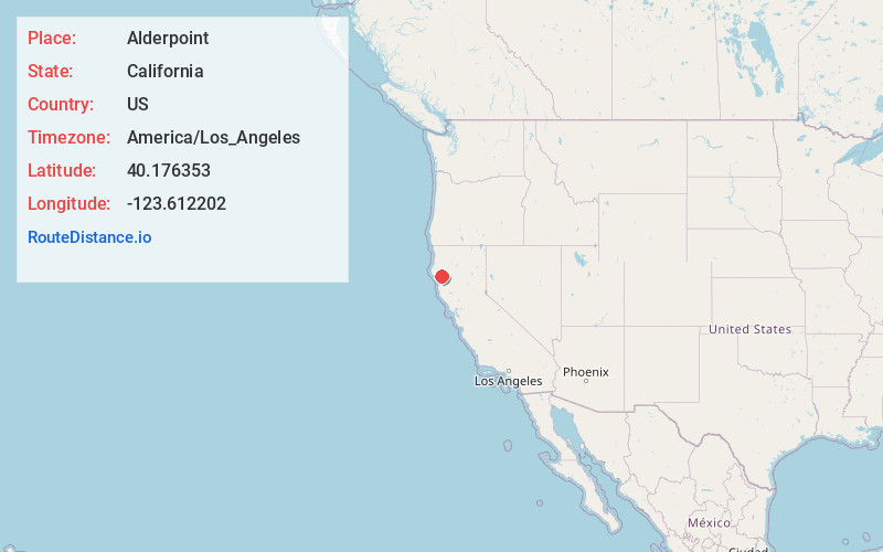
Full AddressAlderpoint, CA 95511
-
Coordinates40.1763525, -123.6122022
-
LocationAlderpoint , California , US
-
TimezoneAmerica/Los_Angeles
-
Current Local Time9:35:39 PM America/Los_AngelesTuesday, June 17, 2025
-
Page Views0
About Alderpoint
Alderpoint is a census-designated place in Humboldt County, California, at an elevation of 472 feet, 11 miles east-northeast of Garberville. Its population is 137 as of the 2020 census, down from 186 from the 2010 census. The ZIP Code is 95511 and its area code is 707.


Nearby Places
Found 10 places within 50 miles

Garberville
11.0 mi
17.7 km
Garberville, CA
Get directions

Redway
11.8 mi
19.0 km
Redway, CA 95560
Get directions

Benbow
11.8 mi
19.0 km
Benbow, CA 95542
Get directions

Miranda
11.9 mi
19.2 km
Miranda, CA
Get directions

Myers Flat
15.0 mi
24.1 km
Myers Flat, CA 95554
Get directions

Ruth
16.6 mi
26.7 km
Ruth, CA 95552
Get directions

Mad River
19.9 mi
32.0 km
Mad River, CA
Get directions

Shelter Cove
26.3 mi
42.3 km
Shelter Cove, CA 95589
Get directions

Hyampom
31.6 mi
50.9 km
Hyampom, CA 96046
Get directions

Covelo
32.8 mi
52.8 km
Covelo, CA 95428
Get directions
Location Links
Local Weather
Weather Information
Coming soon!
Location Map
Static map view of Alderpoint, California
Browse Places by Distance
Places within specific distances from Alderpoint
Short Distances
Long Distances
Click any distance to see all places within that range from Alderpoint. Distances shown in miles (1 mile ≈ 1.61 kilometers).