Distance to Benbow, California

Calculating Your Route
Just a moment while we process your request...
Location Information
-
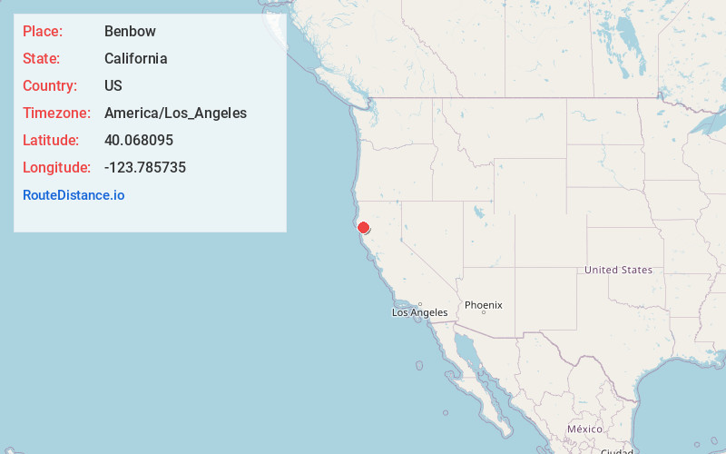
Full AddressBenbow, CA 95542
-
Coordinates40.0680953, -123.7857351
-
LocationBenbow , California , US
-
TimezoneAmerica/Los_Angeles
-
Current Local Time8:09:30 AM America/Los_AngelesThursday, June 5, 2025
-
Page Views0
About Benbow
Benbow is a unincorporated community in Humboldt County, California, located beside the South Fork Eel River. It is 2 miles south-southeast of Garberville, at an elevation of 440 feet. Its population is 422 as of the 2020 census, up from 321 from the 2010 census.


Nearby Places
Found 10 places within 50 miles

Garberville
2.3 mi
3.7 km
Garberville, CA
Get directions

Redway
4.2 mi
6.8 km
Redway, CA 95560
Get directions

Miranda
11.7 mi
18.8 km
Miranda, CA
Get directions

Myers Flat
14.4 mi
23.2 km
Myers Flat, CA 95554
Get directions

Shelter Cove
15.5 mi
24.9 km
Shelter Cove, CA 95589
Get directions

Mad River
30.4 mi
48.9 km
Mad River, CA
Get directions

Laytonville
30.8 mi
49.6 km
Laytonville, CA
Get directions

Scotia
33.2 mi
53.4 km
Scotia, CA
Get directions

Covelo
34.3 mi
55.2 km
Covelo, CA 95428
Get directions

Rio Dell
34.3 mi
55.2 km
Rio Dell, CA
Get directions
Location Links
Local Weather
Weather Information
Coming soon!
Location Map
Static map view of Benbow, California
Browse Places by Distance
Places within specific distances from Benbow
Short Distances
Long Distances
Click any distance to see all places within that range from Benbow. Distances shown in miles (1 mile ≈ 1.61 kilometers).