Distance to Scotia, California

Calculating Your Route
Just a moment while we process your request...
Location Information
-
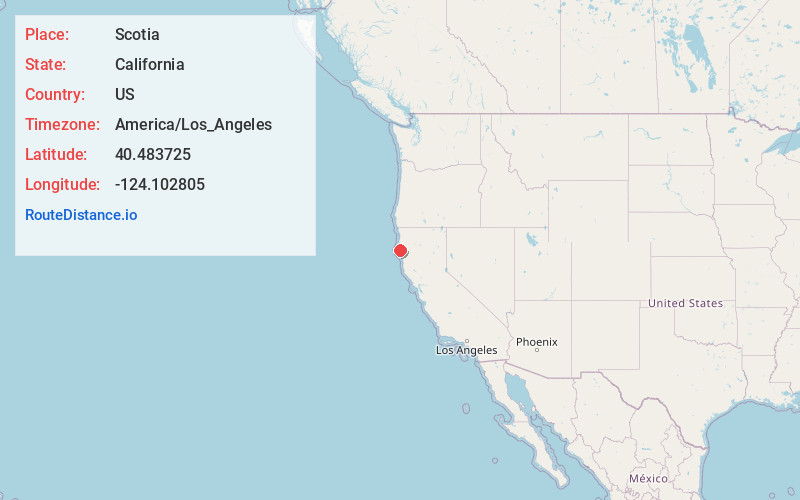
Full AddressScotia, CA
-
Coordinates40.483725, -124.1028046
-
LocationScotia , California , US
-
TimezoneAmerica/Los_Angeles
-
Current Local Time7:00:16 PM America/Los_AngelesWednesday, May 21, 2025
-
Page Views0
About Scotia
Scotia, formerly known as Forestville until 1888, is a census-designated place in Humboldt County, California. It is located on the Eel River along U.S. Route 101, 8.5 miles southeast of Fortuna and 244 miles north of San Francisco. Scotia has a population of 850.


Nearby Places
Found 10 places within 50 miles

Rio Dell
1.1 mi
1.8 km
Rio Dell, CA
Get directions

Hydesville
4.4 mi
7.1 km
Hydesville, CA
Get directions

Fortuna
8.4 mi
13.5 km
Fortuna, CA 95540
Get directions

Ferndale
10.6 mi
17.1 km
Ferndale, CA 95536
Get directions

Loleta
12.7 mi
20.4 km
Loleta, CA
Get directions

Humboldt Hill
17.3 mi
27.8 km
Humboldt Hill, CA 95503
Get directions

Fields Landing
17.7 mi
28.5 km
Fields Landing, CA
Get directions

Cutten
19.9 mi
32.0 km
Cutten, CA 95503
Get directions

Myrtletown
21.1 mi
34.0 km
Myrtletown, CA
Get directions

Eureka
22.2 mi
35.7 km
Eureka, CA
Get directions
Location Links
Local Weather
Weather Information
Coming soon!
Location Map
Static map view of Scotia, California
Browse Places by Distance
Places within specific distances from Scotia
Short Distances
Long Distances
Click any distance to see all places within that range from Scotia. Distances shown in miles (1 mile ≈ 1.61 kilometers).