Distance to Bobtown, Virginia

Calculating Your Route
Just a moment while we process your request...
Location Information
-
Full AddressBobtown, VA 23410
-
Coordinates37.65083, -75.79361
-
LocationBobtown , Virginia , US
-
TimezoneAmerica/New_York
-
Current Local Time3:34:52 AM America/New_YorkMonday, June 23, 2025
-
Page Views0
About Bobtown
Bobtown is a census-designated place in Accomack County, Virginia, United States. Per the 2020 census, the population was 267.
Nearby Places
Found 10 places within 50 miles

Keller
2.7 mi
4.3 km
Keller, VA
Get directions
Melfa
2.9 mi
4.7 km
Melfa, VA 23410
Get directions
Savageville
3.2 mi
5.1 km
Savageville, VA 23417
Get directions
Painter
4.5 mi
7.2 km
Painter, VA 23420
Get directions

Onancock
4.9 mi
7.9 km
Onancock, VA 23417
Get directions

Onley
5.1 mi
8.2 km
Onley, VA
Get directions

Wachapreague
6.5 mi
10.5 km
Wachapreague, VA
Get directions
Savage Town
7.0 mi
11.3 km
Savage Town, VA 23420
Get directions
Quinby
7.5 mi
12.1 km
Quinby, VA
Get directions

Exmore
8.4 mi
13.5 km
Exmore, VA 23350
Get directions
Location Links
Local Weather
Weather Information
Coming soon!
Location Map
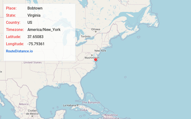
Static map view of Bobtown, Virginia
Browse Places by Distance
Places within specific distances from Bobtown
Short Distances
Long Distances
Click any distance to see all places within that range from Bobtown. Distances shown in miles (1 mile ≈ 1.61 kilometers).