Distance to Boggy, Georgia

Calculating Your Route
Just a moment while we process your request...
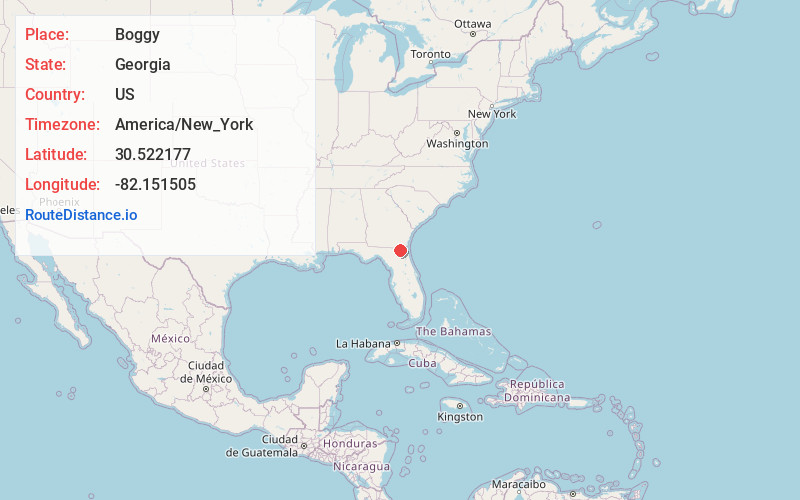
Location Information
-
Full AddressBoggy, GA 31562
-
Coordinates30.5221773, -82.1515049
-
LocationGeorgia , US
-
TimezoneAmerica/New_York
-
Current Local Time8:22:32 PM America/New_YorkWednesday, July 2, 2025
-
Page Views0
Nearby Places
Found 10 places within 50 miles

Clarking
2.0 mi
3.2 km
Clarking, GA 31562
Get directions
Kent
11.0 mi
17.7 km
Kent, FL 32046
Get directions
Dahoma
14.9 mi
24.0 km
Dahoma, FL 32009
Get directions

Bryceville
15.8 mi
25.4 km
Bryceville, FL 32009
Get directions

Macclenny
16.7 mi
26.9 km
Macclenny, FL 32063
Get directions

Glen St Mary
17.0 mi
27.4 km
Glen St Mary, FL 32040
Get directions

Hilliard
18.2 mi
29.3 km
Hilliard, FL
Get directions
Keene
18.3 mi
29.5 km
Keene, Nassau Village-Ratliff, FL 32011
Get directions

Baldwin
18.4 mi
29.6 km
Baldwin, FL 32234
Get directions

Callahan
19.3 mi
31.1 km
Callahan, FL 32011
Get directions
Location Links
Local Weather
Weather Information
Coming soon!
Location Map
Static map view of Boggy, Georgia
Browse Places by Distance
Places within specific distances from Boggy
Short Distances
Long Distances
Click any distance to see all places within that range from Boggy. Distances shown in miles (1 mile ≈ 1.61 kilometers).