Distance to Macclenny, Florida

Calculating Your Route
Just a moment while we process your request...
Location Information
-
Full AddressMacclenny, FL 32063
-
Coordinates30.2821807, -82.1220569
-
LocationMacclenny , Florida , US
-
TimezoneAmerica/New_York
-
Current Local Time5:34:06 AM America/New_YorkWednesday, June 18, 2025
-
Page Views0
About Macclenny
Macclenny is a city and the county seat of Baker County, Florida. Located just west of Jacksonville, it is part of the Jacksonville, Florida Metropolitan Statistical Area. The population was 7,304 at the 2020 census, up from 6,374 in 2010.


Nearby Places
Found 10 places within 50 miles

Middleburg
21.5 mi
34.6 km
Middleburg, FL 32068
Get directions

Lake Butler
22.1 mi
35.6 km
Lake Butler, FL 32054
Get directions

Lakeside
23.6 mi
38.0 km
Lakeside, FL
Get directions

Bellair-Meadowbrook Terrace
23.8 mi
38.3 km
Bellair-Meadowbrook Terrace, FL 32073
Get directions

Asbury Lake
24.1 mi
38.8 km
Asbury Lake, FL
Get directions

Orange Park
26.1 mi
42.0 km
Orange Park, FL 32073
Get directions

Fleming Island
27.7 mi
44.6 km
Fleming Island, FL
Get directions

Jacksonville
27.8 mi
44.7 km
Jacksonville, FL
Get directions

Fruit Cove
31.0 mi
49.9 km
Fruit Cove, FL 32259
Get directions

Lake City
31.5 mi
50.7 km
Lake City, FL
Get directions
Location Links
Local Weather
Weather Information
Coming soon!
Location Map
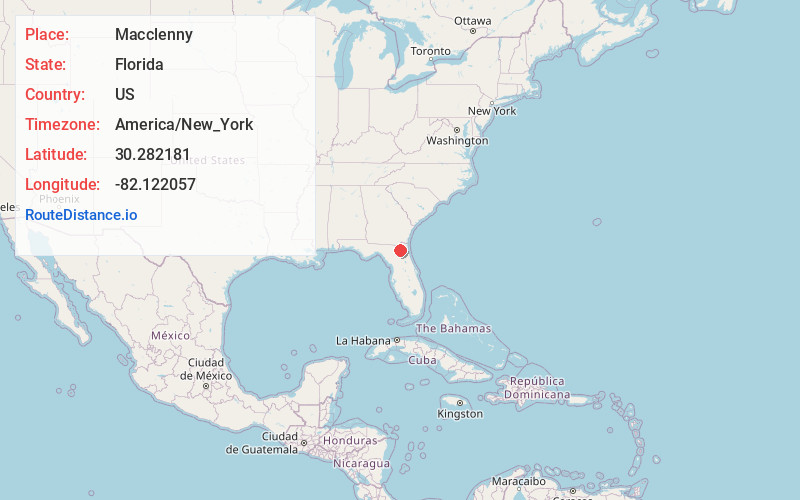
Static map view of Macclenny, Florida
Browse Places by Distance
Places within specific distances from Macclenny
Short Distances
Long Distances
Click any distance to see all places within that range from Macclenny. Distances shown in miles (1 mile ≈ 1.61 kilometers).