Distance to Bogue, Kansas

Calculating Your Route
Just a moment while we process your request...
Location Information
-
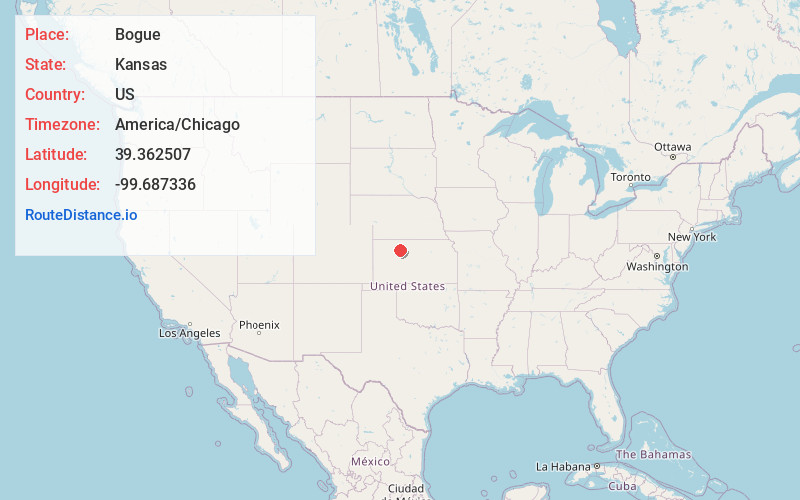
Full AddressBogue, KS 67625
-
Coordinates39.3625071, -99.6873364
-
LocationBogue , Kansas , US
-
TimezoneAmerica/Chicago
-
Current Local Time4:13:54 PM America/ChicagoWednesday, June 18, 2025
-
Page Views0
About Bogue
Bogue is a city in Graham County, Kansas, United States. As of the 2020 census, the population of the city was 155. Bogue is located on K-18, south of U.S. Route 24, on the South Fork Solomon River.
Nearby Places
Found 10 places within 50 miles

Damar
6.4 mi
10.3 km
Damar, KS 67632
Get directions

Hill City
8.3 mi
13.4 km
Hill City, KS
Get directions

Palco
10.1 mi
16.3 km
Palco, KS 67657
Get directions
Edmond
19.7 mi
31.7 km
Edmond, KS 67645
Get directions
Morland
20.8 mi
33.5 km
Morland, KS 67650
Get directions
Logan
21.6 mi
34.8 km
Logan, KS 67646
Get directions

Plainville
22.6 mi
36.4 km
Plainville, KS 67663
Get directions

Stockton
23.1 mi
37.2 km
Stockton, KS 67669
Get directions
Lenora
24.0 mi
38.6 km
Lenora, KS 67645
Get directions

WaKeeney
25.5 mi
41.0 km
WaKeeney, KS 67672
Get directions
Location Links
Local Weather
Weather Information
Coming soon!
Location Map
Static map view of Bogue, Kansas
Browse Places by Distance
Places within specific distances from Bogue
Short Distances
Long Distances
Click any distance to see all places within that range from Bogue. Distances shown in miles (1 mile ≈ 1.61 kilometers).