Distance to Boiling Springs, North Carolina

Calculating Your Route
Just a moment while we process your request...
Location Information
-
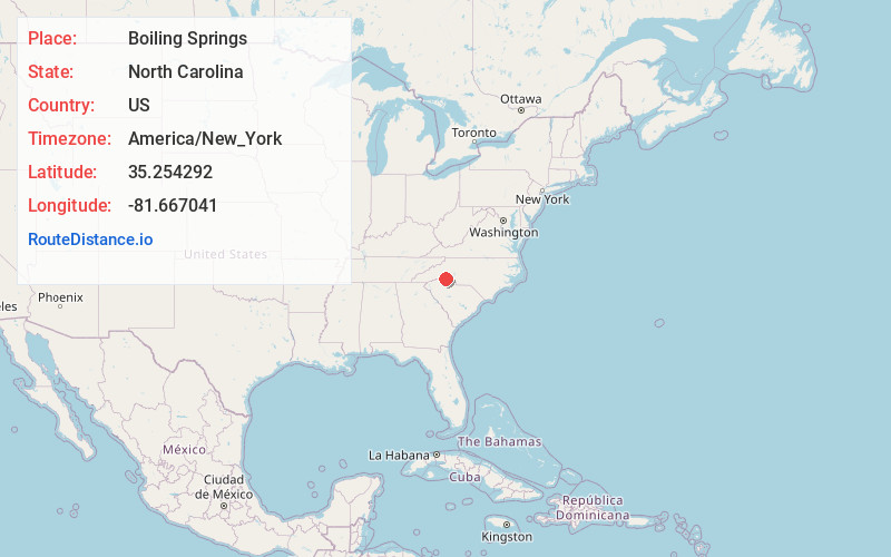
Full AddressBoiling Springs, NC 28152
-
Coordinates35.254292, -81.6670407
-
LocationBoiling Springs , North Carolina , US
-
TimezoneAmerica/New_York
-
Current Local Time5:22:03 AM America/New_YorkWednesday, June 18, 2025
-
Website
-
Page Views0
About Boiling Springs
Boiling Springs is a town in Cleveland County, North Carolina, United States and is located in the westernmost part of the Charlotte metropolitan area, located approximately 50 miles away from the city. As of the 2010 census, the town's population was 4,647. It is home to Gardner–Webb University.
Nearby Places
Found 10 places within 50 miles

Shelby
7.9 mi
12.7 km
Shelby, NC
Get directions

Forest City
12.5 mi
20.1 km
Forest City, NC 28043
Get directions

Gaffney
12.6 mi
20.3 km
Gaffney, SC
Get directions

Cherryville
18.4 mi
29.6 km
Cherryville, NC 28021
Get directions

Kings Mountain
18.4 mi
29.6 km
Kings Mountain, NC
Get directions

Bessemer City
21.7 mi
34.9 km
Bessemer City, NC 28016
Get directions

Boiling Springs
22.9 mi
36.9 km
Boiling Springs, SC 29316
Get directions

Valley Falls
24.0 mi
38.6 km
Valley Falls, SC
Get directions

Spartanburg
25.7 mi
41.4 km
Spartanburg, SC
Get directions

Clover
26.8 mi
43.1 km
Clover, SC 29710
Get directions
Location Links
Local Weather
Weather Information
Coming soon!
Location Map
Static map view of Boiling Springs, North Carolina
Browse Places by Distance
Places within specific distances from Boiling Springs
Short Distances
Long Distances
Click any distance to see all places within that range from Boiling Springs. Distances shown in miles (1 mile ≈ 1.61 kilometers).