Distance to Bolan, Iowa

Calculating Your Route
Just a moment while we process your request...
Location Information
-
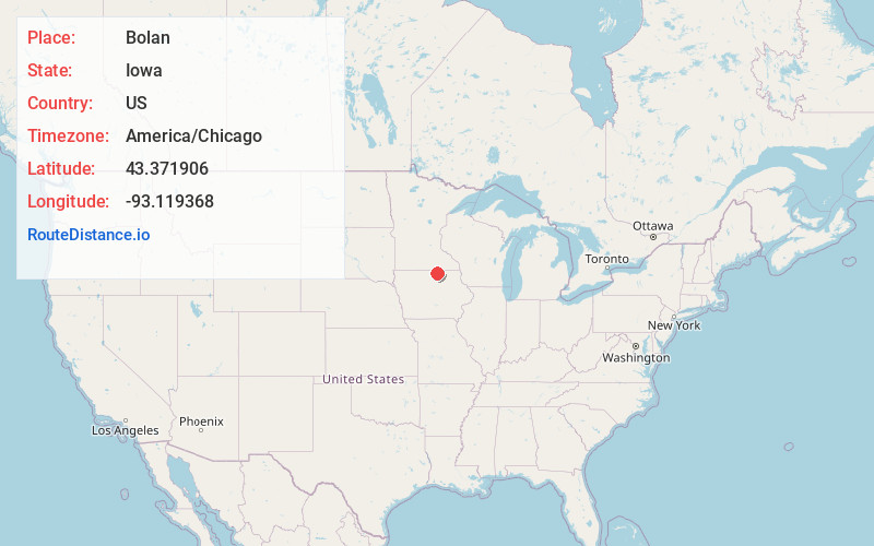
Full AddressBolan, IA 50448
-
Coordinates43.371906, -93.1193681
-
LocationBolan , Iowa , US
-
TimezoneAmerica/Chicago
-
Current Local Time6:16:24 PM America/ChicagoWednesday, June 25, 2025
-
Page Views0
About Bolan
Bolan is an unincorporated community and census-designated place in Worth County, Iowa, United States. As of the 2020 Census the population was 32. It lies at 43°22′19″N 93°07′10″W, at an altitude of 1,227 feet. The community is part of the Mason City Micropolitan Statistical Area.
Nearby Places
Found 10 places within 50 miles

Grafton
3.8 mi
6.1 km
Grafton, IA 50440
Get directions

Kensett
4.7 mi
7.6 km
Kensett, IA 50448
Get directions
Carpenter
6.0 mi
9.7 km
Carpenter, IA
Get directions

Manly
7.0 mi
11.3 km
Manly, IA 50456
Get directions

Northwood
7.1 mi
11.4 km
Northwood, IA 50459
Get directions
Plymouth
8.8 mi
14.2 km
Plymouth, IA
Get directions
Otranto
9.0 mi
14.5 km
Otranto, IA 50472
Get directions
St Ansgar
10.0 mi
16.1 km
St Ansgar, IA 50472
Get directions

Rock Falls
11.5 mi
18.5 km
Rock Falls, IA
Get directions
Toeterville
12.5 mi
20.1 km
Toeterville, IA
Get directions
Location Links
Local Weather
Weather Information
Coming soon!
Location Map
Static map view of Bolan, Iowa
Browse Places by Distance
Places within specific distances from Bolan
Short Distances
Long Distances
Click any distance to see all places within that range from Bolan. Distances shown in miles (1 mile ≈ 1.61 kilometers).