Distance to Plymouth, Iowa

Calculating Your Route
Just a moment while we process your request...
Location Information
-
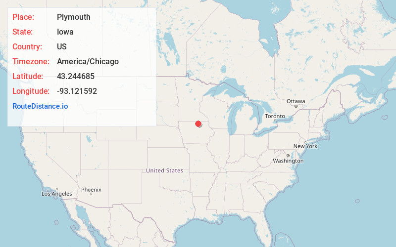
Full AddressPlymouth, IA
-
Coordinates43.2446852, -93.1215924
-
LocationPlymouth , Iowa , US
-
TimezoneAmerica/Chicago
-
Current Local Time10:03:46 AM America/ChicagoThursday, June 12, 2025
-
Page Views0
About Plymouth
Plymouth is a city in Cerro Gordo County, Iowa, United States, along the Shell Rock River. The population was 375 at the time of the 2020 census. It is part of the Mason City Micropolitan Statistical Area.
Nearby Places
Found 10 places within 50 miles

Manly
5.2 mi
8.4 km
Manly, IA 50456
Get directions

Mason City
7.6 mi
12.2 km
Mason City, IA 50401
Get directions

Nora Springs
9.2 mi
14.8 km
Nora Springs, IA 50458
Get directions

Rudd
13.6 mi
21.9 km
Rudd, IA 50471
Get directions
St Ansgar
13.7 mi
22.0 km
St Ansgar, IA 50472
Get directions

Northwood
14.7 mi
23.7 km
Northwood, IA 50459
Get directions

Clear Lake
14.7 mi
23.7 km
Clear Lake, IA 50428
Get directions

Osage
15.5 mi
24.9 km
Osage, IA 50461
Get directions

Rockford
15.9 mi
25.6 km
Rockford, IA 50468
Get directions

Rockwell
18.3 mi
29.5 km
Rockwell, IA 50469
Get directions
Location Links
Local Weather
Weather Information
Coming soon!
Location Map
Static map view of Plymouth, Iowa
Browse Places by Distance
Places within specific distances from Plymouth
Short Distances
Long Distances
Click any distance to see all places within that range from Plymouth. Distances shown in miles (1 mile ≈ 1.61 kilometers).