Distance to Rudd, Iowa

Calculating Your Route
Just a moment while we process your request...
Location Information
-
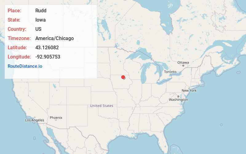
Full AddressRudd, IA 50471
-
Coordinates43.1260815, -92.9057526
-
LocationRudd , Iowa , US
-
TimezoneAmerica/Chicago
-
Current Local Time1:50:50 AM America/ChicagoTuesday, July 1, 2025
-
Page Views0
About Rudd
Rudd is a city in Floyd County, Iowa, United States. The population was 358 at the time of the 2020 census, a decline of 16.9% from 431 in 2000. A post office opened in Rudd in 1869.
Nearby Places
Found 10 places within 50 miles

Nora Springs
5.1 mi
8.2 km
Nora Springs, IA 50458
Get directions

Rockford
5.5 mi
8.9 km
Rockford, IA 50468
Get directions

Osage
11.8 mi
19.0 km
Osage, IA 50461
Get directions

Charles City
12.5 mi
20.1 km
Charles City, IA 50616
Get directions

Mason City
15.1 mi
24.3 km
Mason City, IA 50401
Get directions

Greene
16.7 mi
26.9 km
Greene, IA 50636
Get directions

Rockwell
17.4 mi
28.0 km
Rockwell, IA 50469
Get directions

St Ansgar
17.5 mi
28.2 km
St Ansgar, IA 50472
Get directions

Manly
18.8 mi
30.3 km
Manly, IA 50456
Get directions

Nashua
22.1 mi
35.6 km
Nashua, IA 50658
Get directions
Location Links
Local Weather
Weather Information
Coming soon!
Location Map
Static map view of Rudd, Iowa
Browse Places by Distance
Places within specific distances from Rudd
Short Distances
Long Distances
Click any distance to see all places within that range from Rudd. Distances shown in miles (1 mile ≈ 1.61 kilometers).